Old Maps of Ripley, Mississippi
Explore 20 old maps of Ripley, spanning from 1951 to today. These high-resolution historic maps reveal how streets, neighborhoods, landmarks, and natural features evolved over time — perfect for genealogy, metal detecting, research, and local history exploration.
What you can do with these maps:
- See how Ripley changed over time: Compare historical maps to modern-day views to trace roads, homesites, rail lines & more.
- View detailed metadata: Each map includes creators, publishers, year, scale, and archive source.
- Overlay maps with satellite & LiDAR: Visualize the past alongside modern tools to explore terrain & human change.
- Trusted historical sources: Maps sourced from the USGS, Library of Congress, and other archives.
- Access maps your way: View online, download high-res files, or order prints for personal or research use.
Start exploring old maps of Ripley to uncover forgotten places, hidden landmarks, and the deep history beneath your feet.
Ripley, MS maps
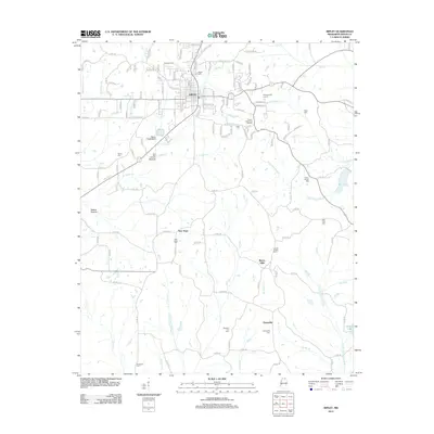
(20)- 1951 Map of Walnut, 1953 Print
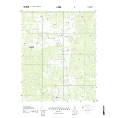
 1951 Walnut1953 Print · USGSThe Mississippi-Tennessee borderlands in the early 1950s show a landscape defined by the Gulf Mobile and Ohio railroad and winding creek valleys. Genealogists can trace family roots through numerous sites like Old Mt Zion Cem, Providence Sch, and Chalybeate.4 unique versions available
 - 1955 Map of Ripley, 1956 Print
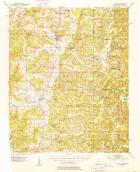
 1955 Ripley1956 Print · USGSMid-century Tippah County life is centered on the railroad hub of Ripley and the headwaters of the Hatchie River. Genealogists and local historians can trace family roots through numerous rural landmarks like Academy Ch, Antioch Sch, and Pleasant Hill Cem.2 unique versions available
 - 1956 Map of Tupelo, 1967 Print
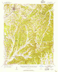
 1956 Tupelo1967 Print · USGSNortheast Mississippi and parts of Tennessee and Alabama are shown here during the mid-fifties, a time of major reservoir construction and forestry management. Researchers can trace the St Louis-San Francisco RR through Tupelo or locate historic sites like Tishomingo State Park and the University.2 unique versions available
 - 1958 Map of Tupelo
 1958 Tupelo1958 Print · USGSNortheast Mississippi and neighboring Alabama and Tennessee appear here during the late fifties as a region defined by new reservoirs and historic rail lines. Genealogists can trace family locations near Sardis Lake, Woodall Mountain, and the St Louis-San Francisco Ry.
 - 1982 Map of Ripley, 1983 Print
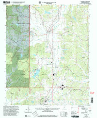
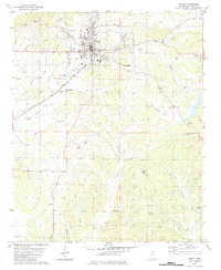 1982 Ripley1983 Print · USGSRipley and its outlying Tippah County settlements are captured here in the early eighties as the railroad still influenced the local economy. Genealogists can trace family landmarks like Moses Chapel, Academy Ch, and the New York Cem near the Little Hatchie River.
 - 1982 Map of Falkner, 1983 Print
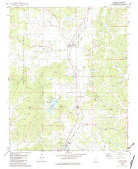 1982 Falkner1983 Print · USGSTippah County in the early eighties shows a landscape of timber and rail, centered on the settlement of Falkner. Genealogists and local historians can trace family locations at the Ruckerville Cem, Nance Cem, and rural pulpits like Berean Ch.
 - 1984 Map of Corinth
 1984 Corinth1984 Print · USGSNortheast Mississippi and its borders with Alabama and Tennessee are captured here in the mid-1980s, showcasing a landscape of rail-connected towns and ridge-top settlements. Researchers can trace the path of the Natchez Trace Parkway or locate family-named landmarks near Biggersville, Kossuth, and the historic Tennessee Divide.
 - 1984 Map of Tupelo
 1984 Tupelo1984 Print · USGSNorth Mississippi in the 1980s is defined by its massive river basin reservoirs and the growing regional hubs of Tupelo and Oxford. Researchers can trace the legacy of the Pontotoc Ridge, find the University of Mississippi, and map early Interstate corridors near Sardis Lake.3 unique versions available
 - 1994 Map of Corinth
 1994 Corinth1994 Print · USGSNortheast Mississippi and the Tennessee borderlands are captured in the mid-1990s as the region's modern industrial and recreational landscape took shape. Genealogists and historians can trace rail-to-river connections through Corinth, the old courthouse at Jacinto, and the route of the Natchez Trace Parkway.
 - 2000 Map of Falkner, 2003 Print
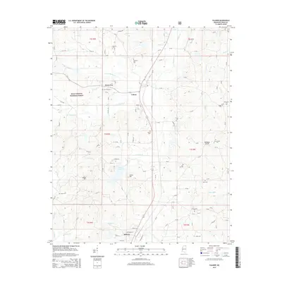
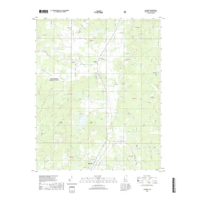
 2000 Falkner2003 Print · USGSNorthern Mississippi at the turn of the millennium shows a landscape defined by forest service lands and rail sidings. Genealogists can trace family names through McCown Cem and Ruckerville Cem, or locate rural congregations at Bethlehem Ch.
 - 2012 Map of Falkner, 2012 Print
 2012 Falkner2012 Print · USGSCovers Ripley, including Falkner, Mount Zion, and other nearby areas
 - 2012 Map of Ripley, 2012 Print
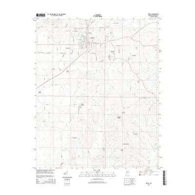
 2012 Ripley2012 Print · USGSCovers Ripley, including Buena Vista, New Hope, and other nearby areas
 - 2015 Map of Falkner, 2015 Print
 2015 Falkner2015 Print · USGSCovers Ripley, including Falkner, Mount Zion, and other nearby areas
 - 2015 Map of Ripley, 2015 Print
 2015 Ripley2015 Print · USGSCovers Ripley, including Buena Vista, New Hope, and other nearby areas
 - 2018 Map of Ripley, 2018 Print
 2018 Ripley2018 Print · USGSCovers Ripley, including Buena Vista, New Hope, and other nearby areas
 - 2018 Map of Falkner, 2018 Print
 2018 Falkner2018 Print · USGSCovers Ripley, including Falkner, Mount Zion, and other nearby areas
 - 2020 Map of Ripley, 2020 Print
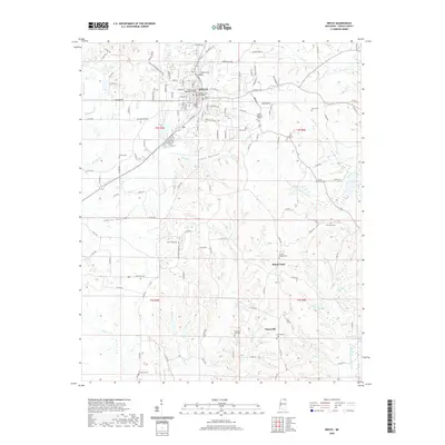 2020 Ripley2020 Print · USGSCovers Ripley, including Buena Vista, New Hope, and other nearby areas
 - 2021 Map of Falkner, 2021 Print
 2021 Falkner2021 Print · USGSCovers Ripley, including Falkner, Mount Zion, and other nearby areas
 - 2024 Map of Ripley, 2024 Print
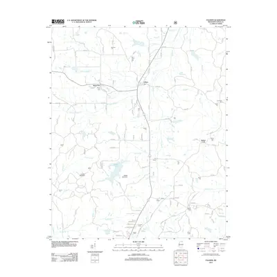
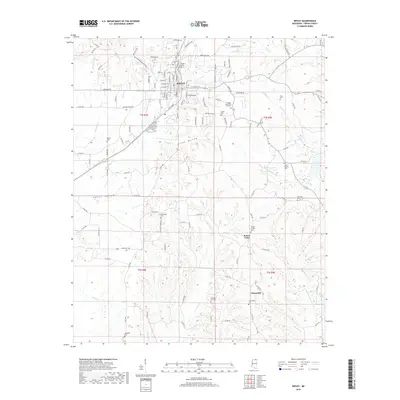
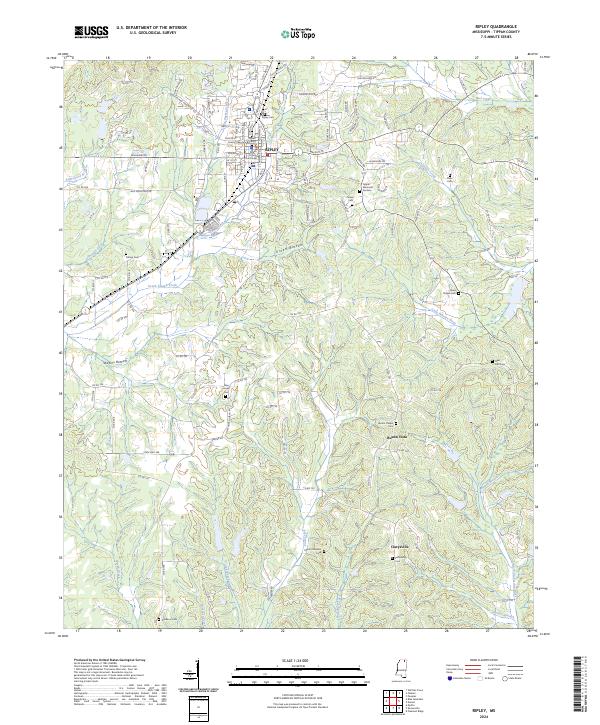 2024 Ripley2024 Print · USGSThe town of Ripley and the surrounding Tippah County countryside are captured here in the early 2020s. Researchers can locate civic landmarks like the Tippah County Courthouse alongside rural settlements at Buena Vista and Clarysville.
 - 2024 Map of Falkner, 2024 Print
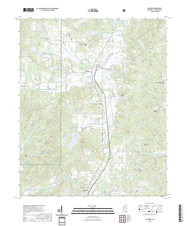 2024 Falkner2024 Print · USGSNorthern Tippah County in the 2020s shows a landscape of timbered forest and family history between Falkner and Ripley. Researchers can trace old family burial sites like Nance Graveyard and Johnson Family Cem or locate Tippah County Lake and Lindsey Mtn.
End of results
Showing maps 1-20 of 20
Top cities near Ripley
- New Albany historical maps
- Blue Mountain historical maps
- Walnut historical maps
- Myrtle historical maps
- Ashland historical maps
- Dumas historical maps
See more
Frequently asked questions
- What are the different types of historical maps available for Ripley?
- What is the oldest map of Ripley?
- Where can I purchase historical maps of Ripley for my home or office?
- Where can I download high-res historical maps of Ripley?
- Are there historical topographic maps available for Ripley?
- Is there historical aerial imagery available for Ripley?
- Where are historical maps of Ripley sourced from?