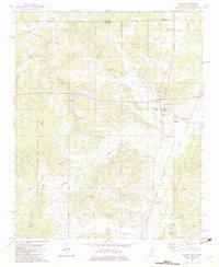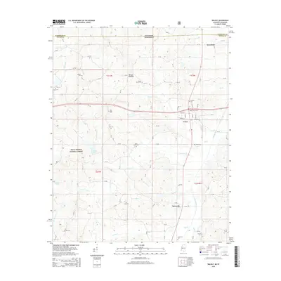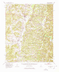
1951 Map of Walnut
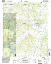
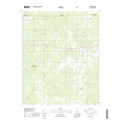
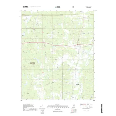
USGS Topo · Published 1980About this map
Walnut and its neighboring communities in Tippah Co sit at a crossroads of rail and timber land in the early 1950s. The Gulf Mobile and Ohio railroad corridor serves as the spine of the region, connecting Campbell Siding, Howell Siding, and Cliff Siding through the hills. To the west, the Holly Springs National Forest marks a transition to managed woodland, while the eastern reaches are defined by the winding course of the Hatchie River and its numerous crossings, including Walden Bridge and Crum Bridge. This survey captures a rural landscape dense with local institutions, from the Oakland Sch and Centre Sch to numerous country churches like Ruckerville Ch and New Salem Ch. The terrain is characterized by named ridges and peaks such as Bald Hill and Lindsey Mtn, which overlook the fertile bottomlands of Muddy Creek.
Find a feature on this map
97 named features on this map. Tap any name to fly to it.
Don’t see what you’re looking for? This feature index may not catch every label — zoom into the map to look around manually.
Map Details
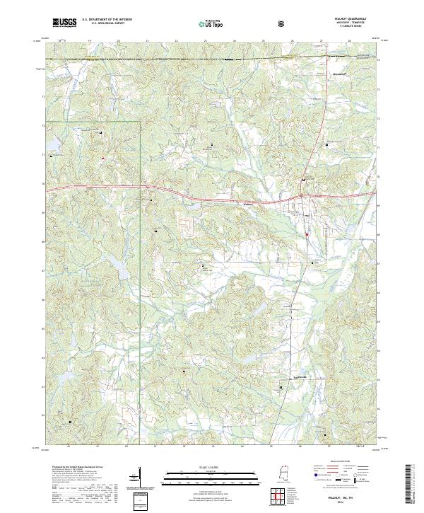
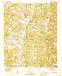
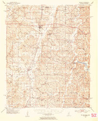
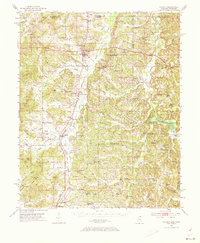
Editions of this 1951 Walnut Map
4 editions found
Historical Maps of Ripley Through Time
9 maps found