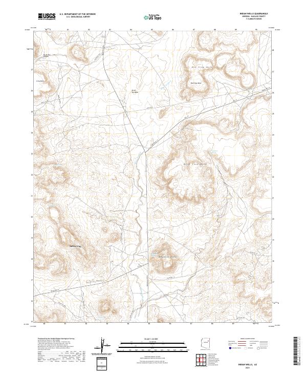
2021 Map of Indian Wells
USGS Topo · Published 2021About this map
Indian Wells anchors the high desert landscape of Navajo County, serving as a focal point for the surrounding tribal road network including Navajo Svc Rte 6 and Indian Rte 15. The terrain is defined by a series of prominent landforms such as Red Clay Mesa, Wood Chop Mesa, and the distinctive Bidahochi Butte to the south. This 2021 topographic record illustrates a complex drainage system where Na Ah Tee Wash and Bidahochi Wash cut through the arid plateaus, supplemented by vital water sources like Bidahochi Spring and Owl Spring. The infrastructure reflects a balance of traditional routes and modern utility corridors, notably Gasline Rd, crossing a landscape steeped in geologic and cultural history. Genealogists and land researchers can trace the relationship between these remote settlements and the natural landmarks that have long provided water and passage through the canyon lands.
Find a feature on this map
28 named features on this map. Tap any name to fly to it.
Don’t see what you’re looking for? This feature index may not catch every label — zoom into the map to look around manually.
Map Details
Editions of this 2021 Indian Wells Map
This is the sole edition of this map. No revisions or reprints were ever made.
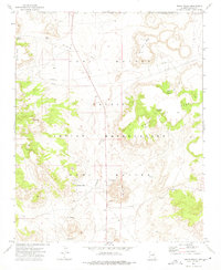
Historical Maps of Indian Wells Through Time
Featured Locations
- United States
- Fort Defiance Agency
- Navajo County, AZ
- Bidahochi, Fort Defiance Agency
- Indian Wells, Fort Defiance Agency