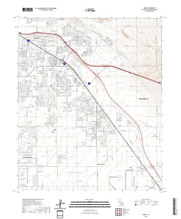
2021 Map of Indio
USGS Topo · Published 2021About this map
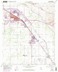
Indio and Coachella serve as the primary hubs of this desert landscape, anchored by an extensive grid of numbered avenues and residential streets. The arid floor of the Coachella Valley is defined by its critical water infrastructure, notably the Coachella Canal to the north and the Whitewater River, which is flanked by Wasteway Number Two and Wasteway Number Three. This complex drainage and irrigation system supports the region's agricultural and municipal expansion between the Indio Hills and the southern settlements.
Find a feature on this map
60 named features on this map. Tap any name to fly to it.
Don’t see what you’re looking for? This feature index may not catch every label — zoom into the map to look around manually.
Map Details
Editions of this 2021 Indio Map
This is the sole edition of this map. No revisions or reprints were ever made.
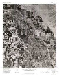
Historical Maps of Indio Through Time
3 maps found