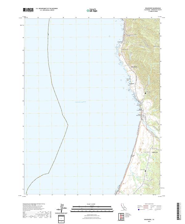
2021 Map of Inglenook
USGS Topo · Published 2021About this map
Kibesillah and Newport occupy the bluffs above the Pacific, where the coastal landscape meets the timber-rich hills of Mendocino. This survey details the intersection of early industrial routes and modern preservation, featuring the Georgia-Pacific Industrial Rd alongside the protected wetlands of the Inglenook Fen. Geologic landmarks such as Whale Rock Arch and Bruhel Point define the coastline, while the Ten Mile River provides a major drainage point into the ocean near Ten Mile River Bluff. Researchers will find significant genealogical value in the Newport Cem and Inglenook Cem, which mark the small settlements of Inglenook and its neighbors. The presence of the Mackerricher State Park boundary illustrates the transition from working industrial timber lands to a landscape of recreation and ecological conservation.
Find a feature on this map
48 named features on this map. Tap any name to fly to it.
Don’t see what you’re looking for? This feature index may not catch every label — zoom into the map to look around manually.
Map Details
Editions of this 2021 Inglenook Map
This is the sole edition of this map. No revisions or reprints were ever made.
Other maps of this area

1920 · Glenblair
USGS Topo · 1:62,500

1920 · Fort Bragg
USGS Topo · 1:62,500

1921 · Westport
USGS Topo · 1:62,500

1921 · Branscomb
USGS Topo · 1:62,500

1943 · Glenblair
USGS Topo · 1:62,500

1943 · Fort Bragg
USGS Topo · 1:62,500

1950 · Cape Vizcaino
USGS Topo · 1:62,500

1951 · Cape Vizcaino
USGS Topo · 1:62,500

1951 · Branscomb
USGS Topo · 1:62,500

1957 · Ukiah
USGS Topo · 1:250,000