Loading...
Loading map...2023 Map of Inkom
USGS Topo · Published 2023About this map
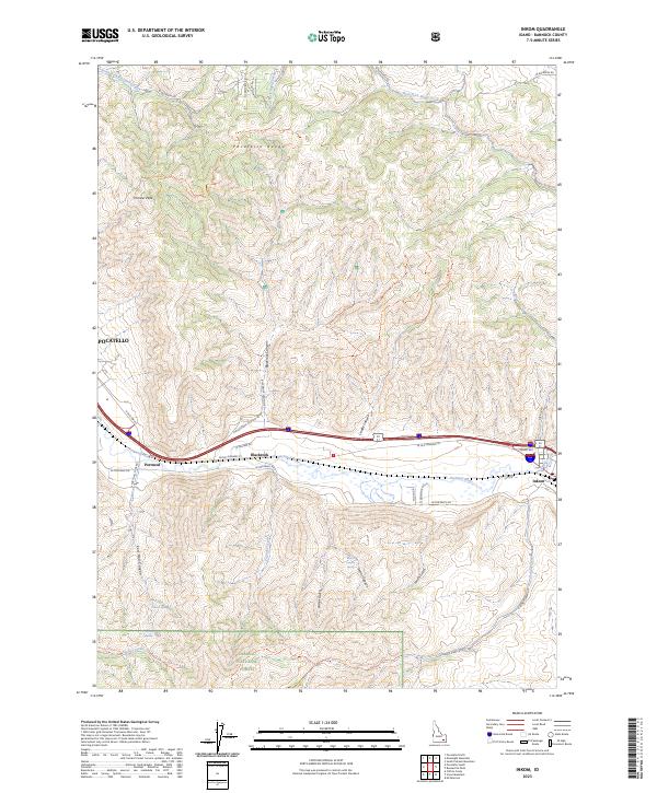
The Portneuf River valley carves a critical corridor through the high desert terrain of southeastern Idaho, serving as a primary artery for transportation and settlement between the Pocatello Range and the Caribou National Forest. In this modern topographic study, the small communities of Inkom, Blackrock, and Portneuf are situated along the river's bend, where historical travel routes have evolved into contemporary thoroughfares like N Old Hwy 91.
Find a feature on this map
48 named features on this map. Tap any name to fly to it.
Don’t see what you’re looking for? This feature index may not catch every label — zoom into the map to look around manually.
Map Details
Date Portrayed2023
Date Published2023
PublisherU.S. Geological Survey
Map TypeTopographic
Scale1:24000
Physical Dimensions24 x 29 inches
Editions of this 2023 Inkom Map
This is the sole edition of this map. No revisions or reprints were ever made.
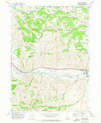
Historical Maps of Pocatello Through Time
Featured Locations
Source Details
SourceU.S. Geological Survey
CopyrightPublic Domain