
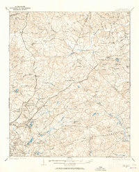
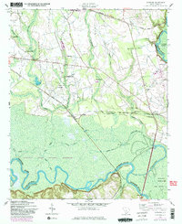
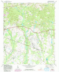
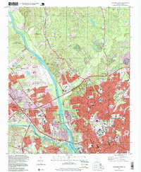
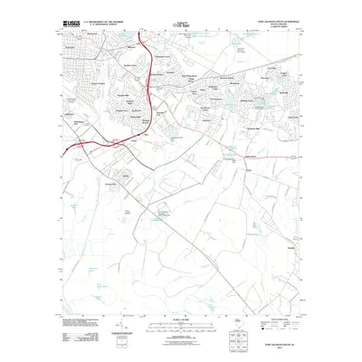
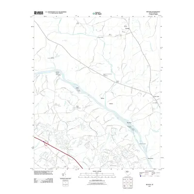
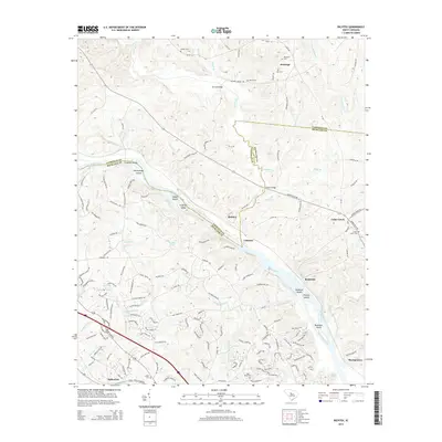
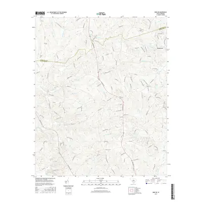
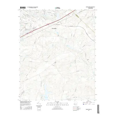
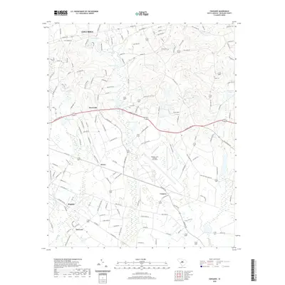
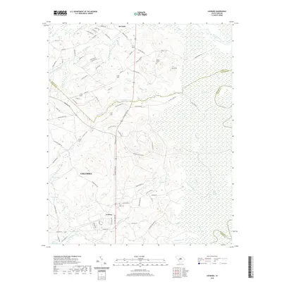
1949 Map of Irmo NE
USGS Topo · Published 1949About this map
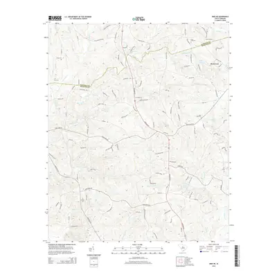
The rolling hills of the Richland and Fairfield County border are defined by a network of rural schools and country churches in this mid-century period. Notable community hubs like Taylor Chapel Ch and Beulah Ch anchor the landscape, alongside educational sites such as Lever Sch and the Holly Grove Sch (Abandoned). The terrain is deeply incised by numerous waterways, including the winding Cedar Creek and its tributaries like Smith Branch and Chappel Branch, which shaped the early road patterns of the area.
Find a feature on this map
40 named features on this map. Tap any name to fly to it.
Don’t see what you’re looking for? This feature index may not catch every label — zoom into the map to look around manually.
Map Details
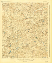
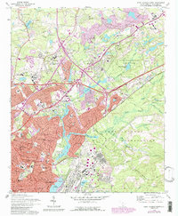
Editions of this 1949 Irmo NE Map
This is the sole edition of this map. No revisions or reprints were ever made.
Historical Maps of Blythewood Through Time
66 maps found
1935 Killian
Richland County, SC
1937 Killian
Richland County, SC

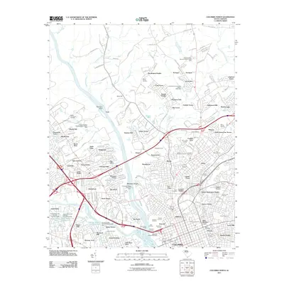
1947 Columbia North
Richland County, SC

1947 Richtex
Richland County, SC

1948 Columbia North
Richland County, SC
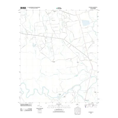
1949 Irmo NE
Richland County, SC

1949 Richtex
Richland County, SC
1953 Congaree
Richland County, SC
1953 Fort Jackson North
Richland County, SC

1953 Fort Jackson South
Richland County, SC

1953 Leesburg
Richland County, SC

1953 Messers Pond
Richland County, SC
1953 Wateree
Richland County, SC
1971 Irmo NE
Richland County, SC
1971 Richtex
Richland County, SC
1972 Columbia North
Richland County, SC
1972 Congaree
Richland County, SC
1972 Fort Jackson North
Richland County, SC
1972 Fort Jackson South
Richland County, SC
1972 Messers Pond
Richland County, SC
1997 Columbia North
Richland County, SC
2011 Columbia North
Richland County, SC
2011 Congaree
Richland County, SC
2011 Fort Jackson North
Richland County, SC
2011 Fort Jackson South
Richland County, SC
2011 Irmo NE
Richland County, SC
2011 Leesburg
Richland County, SC
2011 Messers Pond
Richland County, SC
2011 Richtex
Richland County, SC
2012 Wateree
Richland County, SC
2014 Columbia North
Richland County, SC
2014 Congaree
Richland County, SC

2014 Fort Jackson North
Richland County, SC
2014 Fort Jackson South
Richland County, SC
2014 Irmo NE
Richland County, SC
2014 Leesburg
Richland County, SC
2014 Messers Pond
Richland County, SC
2014 Richtex
Richland County, SC
2014 Wateree
Richland County, SC
2017 Columbia North
Richland County, SC
2017 Congaree
Richland County, SC
2017 Fort Jackson North
Richland County, SC
2017 Fort Jackson South
Richland County, SC
2017 Irmo NE
Richland County, SC
2017 Leesburg
Richland County, SC
2017 Messers Pond
Richland County, SC
2017 Richtex
Richland County, SC
2017 Wateree
Richland County, SC
2020 Columbia North
Richland County, SC
2020 Congaree
Richland County, SC
2020 Fort Jackson North
Richland County, SC
2020 Fort Jackson South
Richland County, SC
2020 Irmo NE
Richland County, SC
2020 Leesburg
Richland County, SC
2020 Messers Pond
Richland County, SC
2020 Richtex
Richland County, SC
2020 Wateree
Richland County, SC
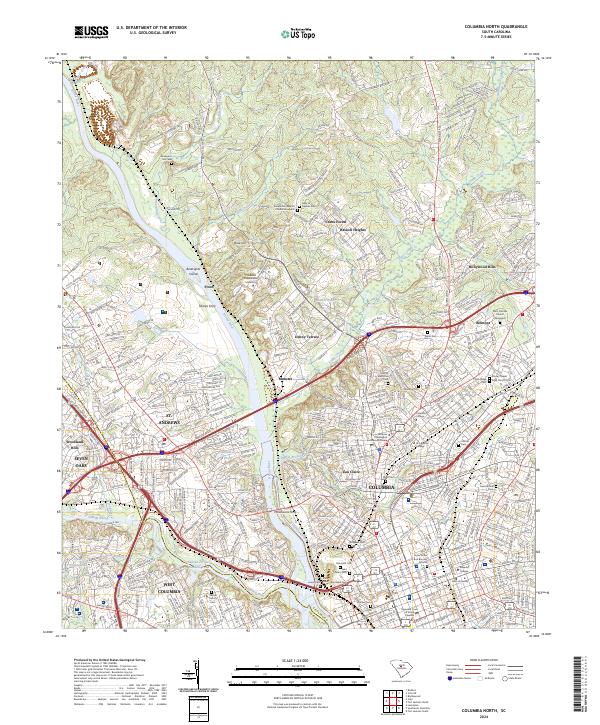
2024 Columbia North
Richland County, SC
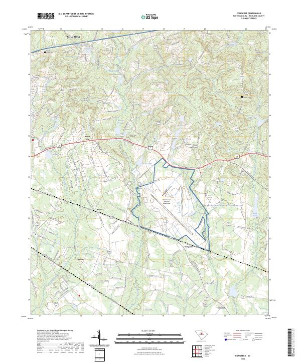
2024 Congaree
Richland County, SC
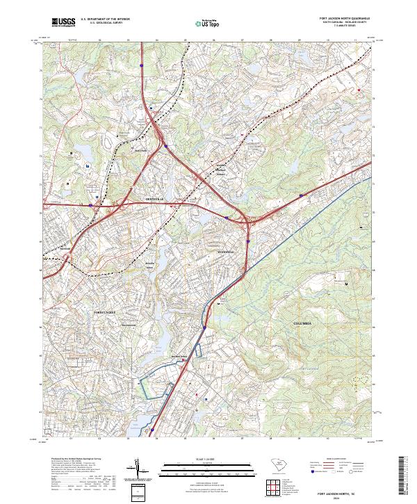
2024 Fort Jackson North
Richland County, SC
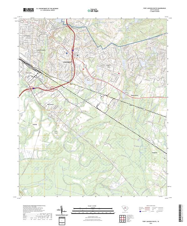
2024 Fort Jackson South
Richland County, SC
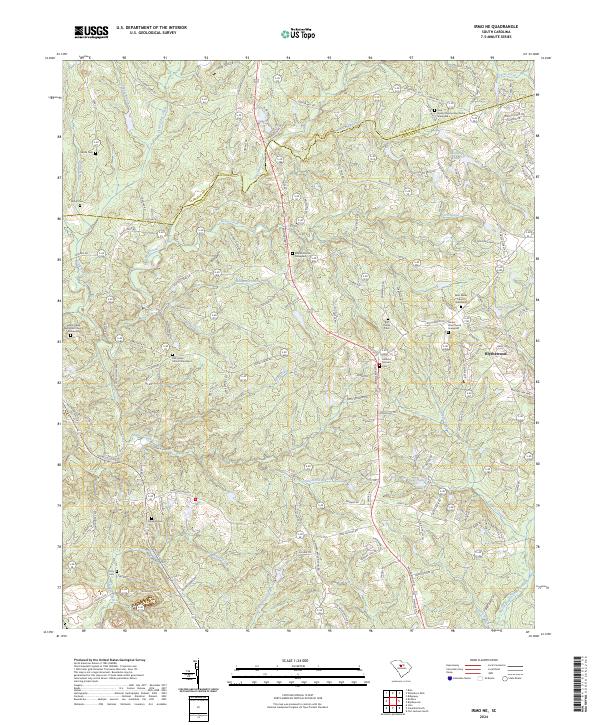
2024 Irmo NE
Richland County, SC
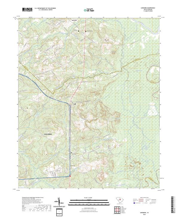
2024 Leesburg
Richland County, SC
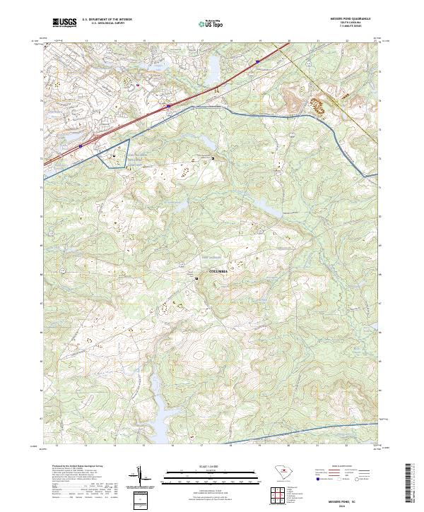
2024 Messers Pond
Richland County, SC
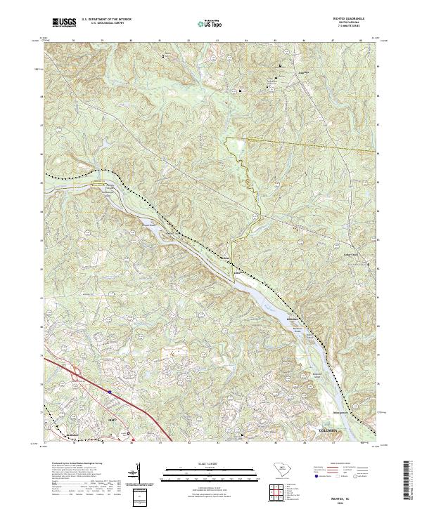
2024 Richtex
Richland County, SC
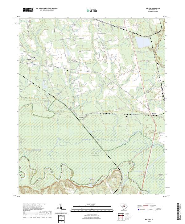
2024 Wateree
Richland County, SC