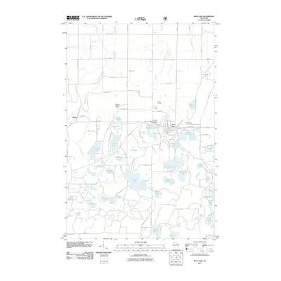
2011 Map of Iron Lake
USGS Topo · Published 2011About this map
Iron River serves as the primary hub of activity in this northern Wisconsin landscape, where the Tri County Corridor railroad path intersects the local street grid. The town is defined by its relationship with water, specifically the Iron River Light and Power Company WP182 Dam which creates Mill Pond Lake. To the west, the smaller settlement of Muskeg sits along Muskeg Creek, while the Bayfield County Airport occupies a central clearing.
Find a feature on this map
124 named features on this map. Tap any name to fly to it.
Don’t see what you’re looking for? This feature index may not catch every label — zoom into the map to look around manually.
Map Details
Editions of this 2011 Iron Lake Map
This is the sole edition of this map. No revisions or reprints were ever made.
Other maps of this area

1943 · Iron Lake
USGS Topo · 1:48,000

1944 · Drummond
USGS Topo · 1:48,000

1945 · Highland
USGS Topo · 1:48,000

1947 · Drummond
USGS Topo · 1:48,000

1947 · Brule
USGS Topo · 1:48,000

1947 · Iron Lake
USGS Topo · 1:48,000

1949 · Highland
USGS Topo · 1:48,000

1953 · Ashland
USGS Topo · 1:250,000

1958 · Ashland
USGS Topo · 1:250,000

1961 · Iron Lake SW
USGS Topo · 1:24,000