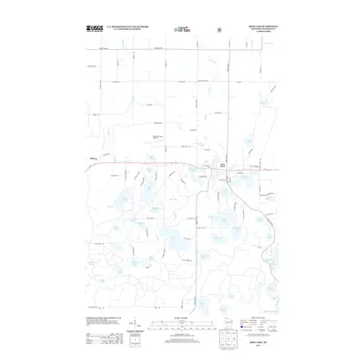
2013 Map of Iron Lake
USGS Topo · Published 2013About this map
Iron River serves as the primary hub of this northern Wisconsin landscape, where the namesake waterway flows through the center of town toward Mill Pond Lake. The area is defined by a dense concentration of glacial water bodies, with larger basins like Iron Lake and Spider Lake surrounded by smaller, secluded waters such as Ahmeek Lake, Bismarck Lake, and Moon Lake. The transportation network is anchored by Us-2, which cuts east-west across the terrain, passing through Muskeg and providing access to the Bayfield County Airport. Local navigation relies on a grid of county highways and specialized tracks like Ahmeek Lake Trl and Gravel Pit Rd. This 2013 survey illustrates a region where the natural hydrography and forestry-related roads dictate the pattern of settlement and recreational land use.
Find a feature on this map
102 named features on this map. Tap any name to fly to it.
Don’t see what you’re looking for? This feature index may not catch every label — zoom into the map to look around manually.
Map Details
Editions of this 2013 Iron Lake Map
This is the sole edition of this map. No revisions or reprints were ever made.
Other maps of this area

1943 · Iron Lake
USGS Topo · 1:48,000

1944 · Drummond
USGS Topo · 1:48,000

1945 · Highland
USGS Topo · 1:48,000

1947 · Drummond
USGS Topo · 1:48,000

1947 · Brule
USGS Topo · 1:48,000

1947 · Iron Lake
USGS Topo · 1:48,000

1949 · Highland
USGS Topo · 1:48,000

1953 · Ashland
USGS Topo · 1:250,000

1958 · Ashland
USGS Topo · 1:250,000

1961 · Iron Lake SW
USGS Topo · 1:24,000