
1934 Map of Iron Mtn Gap
USGS Topo · Published 1934About this map
Stone Mountain and the Unaka Mountains define the high-elevation landscape of this 1934 survey, which documents the remote borderlands where Tennessee and North Carolina meet. The terrain is deeply incised by the Doe River and Indian Creek, with small settlements and family farms clustered in the few accessible gaps and hollows. Local commerce and social life are anchored by scattered landmarks such as Cochran Store, Blevins Store, and Union Chapel.
Find a feature on this map
62 named features on this map. Tap any name to fly to it.
Don’t see what you’re looking for? This feature index may not catch every label — zoom into the map to look around manually.
Map Details
Editions of this 1934 Iron Mtn Gap Map
This is the sole edition of this map. No revisions or reprints were ever made.
Other maps of this area

1891 · Roan Mountain
USGS Topo · 1:125,000

1894 · Roan Mountain
USGS Topo · 1:125,000

1904 · Roan Mountain
USGS Topo · 1:125,000

1934 · White Rocks Mtn
USGS Topo · 1:24,000

1934 · Bakersville
USGS Topo · 1:24,000
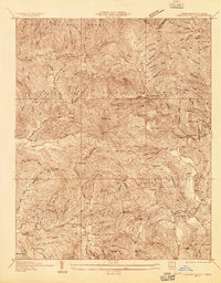
1934 · Carvers Gap
USGS Topo · 1:24,000

1935 · Watauga Valley
USGS Topo · 1:48,000

1935 · Huntdale
USGS Topo · 1:24,000

1935 · Elizabethton
USGS Topo · 1:24,000
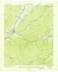
1935 · Unicoi
USGS Topo · 1:24,000