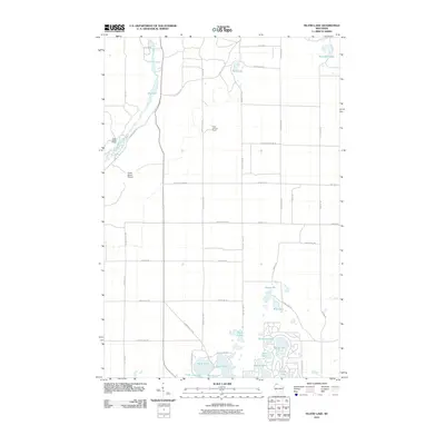
2010 Map of Island Lake
USGS Topo · Published 2010About this map
The Bois Brule River corridor defines the western edge of this 2010 topographic survey, winding through a landscape dominated by glacial lakes and secondary forest. In the northwest corner, the Cedar Island Estate and the adjacent Cedar Island Airport represent a notable concentration of private land use in an otherwise densely wooded region. The area is characterized by numerous water bodies of varying sizes, from the larger Island Lake and Sand Lake in the south to the more isolated Rush Lake and Moreland Lake in the north.
Find a feature on this map
46 named features on this map. Tap any name to fly to it.
Don’t see what you’re looking for? This feature index may not catch every label — zoom into the map to look around manually.
Map Details
Editions of this 2010 Island Lake Map
This is the sole edition of this map. No revisions or reprints were ever made.
Other maps of this area

1943 · Iron Lake
USGS Topo · 1:48,000

1944 · Drummond
USGS Topo · 1:48,000

1945 · Highland
USGS Topo · 1:48,000

1947 · Drummond
USGS Topo · 1:48,000

1947 · Brule
USGS Topo · 1:48,000

1947 · Iron Lake
USGS Topo · 1:48,000

1949 · Highland
USGS Topo · 1:48,000

1953 · Ashland
USGS Topo · 1:250,000

1954 · Lake Nebagamon
USGS Topo · 1:24,000

1958 · Ashland
USGS Topo · 1:250,000