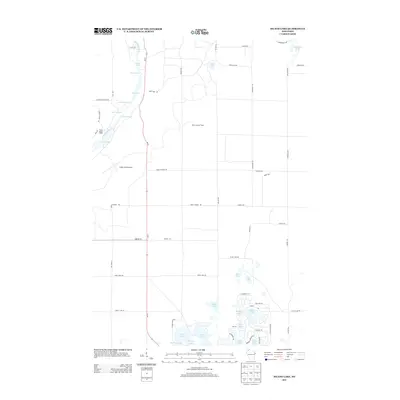
2013 Map of Island Lake
USGS Topo · Published 2013About this map
The Bois Brule River carves a path through this corner of the Wisconsin northwoods, defined by a succession of whitewater including Wildcat Rapids, The Falls Rapids, and Majs Rips Rapids. The waterway connects a chain of significant pools such as Lucius Lake and Big Lake, which have historically served as focal points for the Cedar Island Estate. This area is characterized by a high concentration of glacial kettle lakes, ranging from the large Island Lake to the uniquely named High Life Lake and Breakfast Lake. Inland, the Brule Lookout Tower and Cedar Island Airport stand as primary landmarks amidst a network of forest roads and trails like Broken Arrow Trl and Lynx Rd. The map illustrates a landscape shaped by both its hydrological network and the seasonal recreation economy common to Bayfield County.
Find a feature on this map
62 named features on this map. Tap any name to fly to it.
Don’t see what you’re looking for? This feature index may not catch every label — zoom into the map to look around manually.
Map Details
Editions of this 2013 Island Lake Map
This is the sole edition of this map. No revisions or reprints were ever made.
Other maps of this area

1943 · Iron Lake
USGS Topo · 1:48,000

1944 · Drummond
USGS Topo · 1:48,000

1945 · Highland
USGS Topo · 1:48,000

1947 · Drummond
USGS Topo · 1:48,000

1947 · Brule
USGS Topo · 1:48,000

1947 · Iron Lake
USGS Topo · 1:48,000

1949 · Highland
USGS Topo · 1:48,000

1953 · Ashland
USGS Topo · 1:250,000

1954 · Lake Nebagamon
USGS Topo · 1:24,000

1958 · Ashland
USGS Topo · 1:250,000