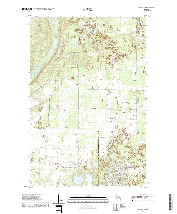
2022 Map of Island Lake
USGS Topo · Published 2022About this map
The Bois Brule River carves a distinctive path through this portion of Douglas and Bayfield counties, marked by a series of rapids including Wildcat Rapids, Big Twin Rapids, and The Falls Rapids. This waterway has long been central to the region's character, providing a corridor for movement and recreation. The North Country National Scenic Trl follows the river's course before winding south toward the Cedar Island Airport, reflecting the area's modern identity as a destination for hikers and pilots alike.
Find a feature on this map
66 named features on this map. Tap any name to fly to it.
Don’t see what you’re looking for? This feature index may not catch every label — zoom into the map to look around manually.
Map Details
Editions of this 2022 Island Lake Map
This is the sole edition of this map. No revisions or reprints were ever made.
Other maps of this area

1943 · Iron Lake
USGS Topo · 1:48,000

1944 · Drummond
USGS Topo · 1:48,000

1945 · Highland
USGS Topo · 1:48,000

1947 · Drummond
USGS Topo · 1:48,000

1947 · Brule
USGS Topo · 1:48,000

1947 · Iron Lake
USGS Topo · 1:48,000

1949 · Highland
USGS Topo · 1:48,000

1953 · Ashland
USGS Topo · 1:250,000

1954 · Lake Nebagamon
USGS Topo · 1:24,000

1958 · Ashland
USGS Topo · 1:250,000