Loading...
Loading map...2024 Map of Itta Bena
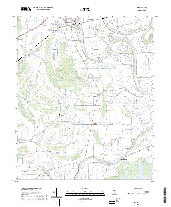
USGS Topo · Published 2024About this map
Itta Bena anchors this portion of Leflore County, where the street grid reflects local history through names like Martin Luther King Jr Dr and Freedom St. The landscape is dominated by the intricate hydrology of the Delta, characterized by various brakes and bayous that define the agricultural and natural boundaries of the region. To the south, the Mathews Brake National Wildlife Refuge and Mathis Brake represent significant wetland conservation areas along the Yazoo River.
Find a feature on this map
79 named features on this map. Tap any name to fly to it.
Don’t see what you’re looking for? This feature index may not catch every label — zoom into the map to look around manually.
Map Details
Date Portrayed2024
Date Published2024
PublisherU.S. Geological Survey
Map TypeTopographic
Scale1:24000
Physical Dimensions24 x 29 inches
Editions of this 2024 Itta Bena Map
This is the sole edition of this map. No revisions or reprints were ever made.
Historical Maps of Quito Through Time
Featured Locations
Source Details
SourceU.S. Geological Survey
CopyrightPublic Domain