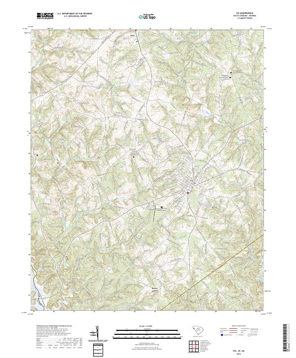
2024 Map of Iva
USGS Topo · Published 2024About this map
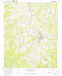
Iva and Starr serve as central points in this South Carolina landscape, which straddles the Anderson and Abbeville county lines near the Georgia border. The topography is defined by the drainage basins of the Savannah River, including the Little Generostee Creek and its tributary, East Prong Little Generostee Creek. Local heritage is anchored by historic religious sites like Good Hope Baptist Church, Crossroads Methodist Church, and Hebron Methodist Church, many with adjacent burial grounds. Transportation routes like the Old Lowndesville Hwy connect these rural communities, while the southern reach of the map features Barnes Station near the banks of Crooked Creek. The distribution of creek systems like West Beards Creek and East Beards Creek reveals the agricultural and natural patterns of this Piedmont region.
Find a feature on this map
130 named features on this map. Tap any name to fly to it.
Don’t see what you’re looking for? This feature index may not catch every label — zoom into the map to look around manually.
Map Details
Editions of this 2024 Iva Map
This is the sole edition of this map. No revisions or reprints were ever made.