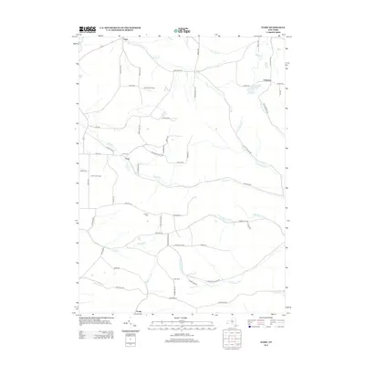
2013 Map of Ivory
USGS Topo · Published 2013About this map
Ivory and its surrounding rural landscapes in Chautauqua County are defined by a network of winding valley streams and upland roads. Small settlements and points of interest such as the Kost Family Apiary and the Kennedy Airfield illustrate the mixed agricultural and light utility character of the region. The map provides significant detail for family historians, showing the location of the Ivory Cem near the junction of Ivory Rd and Harrington Rd, as well as the Oak Hill Cem further south.
Find a feature on this map
64 named features on this map. Tap any name to fly to it.
Don’t see what you’re looking for? This feature index may not catch every label — zoom into the map to look around manually.
Map Details
Editions of this 2013 Ivory Map
This is the sole edition of this map. No revisions or reprints were ever made.
Other maps of this area

1905 · Jamestown
USGS Topo · 1:62,500

1906 · Warren
USGS Topo · 1:62,500

1907 · Warren
USGS Topo · 1:62,500

1908 · Warren
USGS Topo · 1:62,500

1922 · Randolph
USGS Topo · 1:62,500

1923 · Randolph
USGS Topo · 1:62,500

1936 · Kinzua
USGS Topo · 1:48,000

1941 · Kinzua
USGS Topo · 1:62,500

1942 · Jamestown
USGS Topo · 1:62,500

1943 · Randolph
USGS Topo · 1:62,500