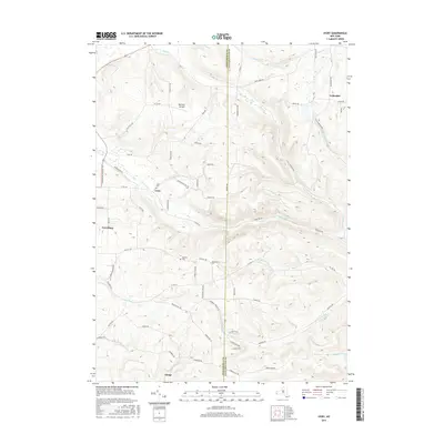
2016 Map of Ivory
USGS Topo · Published 2016About this map
The boundary between Chautauqua and Cattaraugus counties bisects this landscape of deeply carved creek valleys and rural outposts. Small settlements and points of interest like Ivory, Vollentine, and Dodge are linked by a network of winding roads such as Guernsey Hollow Rd and Swanson Hill Rd. The topography is defined by significant drainages including Mud Cr, Bone Run, and Frews Run, which have shaped the local development pattern. Family-named landmarks and local history markers are prevalent, from the Ivory Cem and Oak Hill Cem to the Kennedy Airfield in the north. The area known as Sylvan Glen highlights the region's characteristic wooded hollows, while established towns like Frewsburg anchor the western edge of the quadrangle.
Find a feature on this map
69 named features on this map. Tap any name to fly to it.
Don’t see what you’re looking for? This feature index may not catch every label — zoom into the map to look around manually.
Map Details
Editions of this 2016 Ivory Map
This is the sole edition of this map. No revisions or reprints were ever made.
Other maps of this area

1905 · Jamestown
USGS Topo · 1:62,500

1906 · Warren
USGS Topo · 1:62,500

1907 · Warren
USGS Topo · 1:62,500

1908 · Warren
USGS Topo · 1:62,500

1922 · Randolph
USGS Topo · 1:62,500

1923 · Randolph
USGS Topo · 1:62,500

1936 · Kinzua
USGS Topo · 1:48,000

1941 · Kinzua
USGS Topo · 1:62,500

1942 · Jamestown
USGS Topo · 1:62,500

1943 · Randolph
USGS Topo · 1:62,500