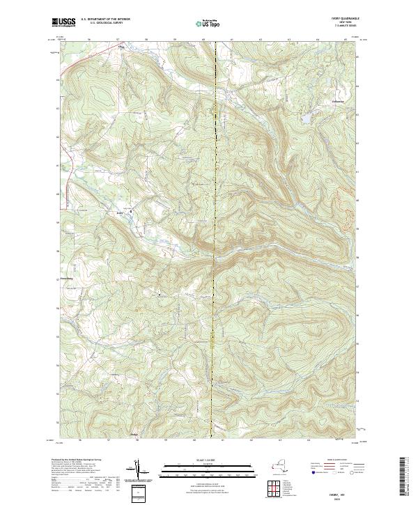
2023 Map of Ivory
USGS Topo · Published 2023About this map
Ivory and the surrounding drainage basins of the Chautauqua-Cattaraugus border define this portrait of rural Western New York. The landscape is deeply etched by a network of waterways including Frews Run, Cass Run, and the winding Mud Creek, which flow through valleys separated by ridges like Fisher Hill and Robbin Hill. Small, dispersed settlements such as Vollentine, Clark, and Dodge are connected by a web of local routes like Guernsey Hollow Road and Bone Run Road, reflecting a long-standing pattern of upland farming and timber harvesting. For those researching local lineages, the map identifies key resting places including Ivory Cemetery and Oak Hill Cemetery, situated near the headwaters of the North Branch Sawmill Run. This modern survey documents the persistent rural character of these townships, where naming conventions like Storehouse Run and Battle Creek hint at the area's early industrial and frontier history.
Find a feature on this map
67 named features on this map. Tap any name to fly to it.
Don’t see what you’re looking for? This feature index may not catch every label — zoom into the map to look around manually.
Map Details
Editions of this 2023 Ivory Map
This is the sole edition of this map. No revisions or reprints were ever made.
Other maps of this area

1905 · Jamestown
USGS Topo · 1:62,500

1906 · Warren
USGS Topo · 1:62,500

1907 · Warren
USGS Topo · 1:62,500

1908 · Warren
USGS Topo · 1:62,500

1922 · Randolph
USGS Topo · 1:62,500

1923 · Randolph
USGS Topo · 1:62,500

1936 · Kinzua
USGS Topo · 1:48,000

1941 · Kinzua
USGS Topo · 1:62,500

1942 · Jamestown
USGS Topo · 1:62,500

1943 · Randolph
USGS Topo · 1:62,500