2022 Map of Ixonia
USGS Topo · Published 2022About this map
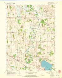
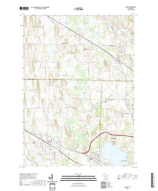
Rock River and the Ashippun River dominate this landscape where Jefferson, Dodge, and Waukesha counties meet. The wetland-rich corridor is punctuated by settlements such as Ixonia, Ashippun, and Monterey, showing the historical development pattern along these interior waterways. The presence of numerous burial sites, including the Saint Marks Cem, Monterey Village Cem, and Cross Lutheran Cem, points to the long-standing community roots in the area. Near the southern edge, the map details the shoreline of Lac La Belle and the residential layout of Lake Lac La Belle. Of interest to historians is the prominent Sugar Island and the complex drainage of smaller tributaries like Baker Cr and Dawson Cr that feed into the larger river systems. The map also traces the route of Old Hiway Ln, marking older transportation corridors that once served these rural farming communities.
Find a feature on this map
116 named features on this map. Tap any name to fly to it.
Don’t see what you’re looking for? This feature index may not catch every label — zoom into the map to look around manually.
Map Details
Editions of this 2022 Ixonia Map
This is the sole edition of this map. No revisions or reprints were ever made.