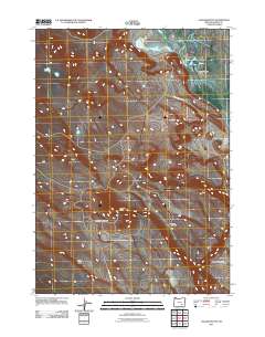
2011 Map of Jackass Butte
USGS Topo · Published 2011About this map
Jackass Mountain and the distinctive peak of Jackass Butte define this high-desert landscape in southeastern Oregon. This 2011 survey documents a sparsely settled region of Harney County where human presence is marked primarily by ranching and resource management, anchored by the Juniper Park Ranch. To the east, the terrain drops toward the Blitzen Valley, a significant hydrological corridor that includes Buena Vista Lake. The transportation network is minimal, consisting largely of the Jack Mountain Rd and the Jack Mountain Spur, which navigate the land between the peaks and the geological formation of Black Rim. The map reflects the enduring character of the Great Basin's drainage patterns and topographic isolation during the early 21st century.
Find a feature on this map
8 named features on this map. Tap any name to fly to it.
Don’t see what you’re looking for? This feature index may not catch every label — zoom into the map to look around manually.
Map Details
Editions of this 2011 Jackass Butte Map
This is the sole edition of this map. No revisions or reprints were ever made.
Other maps of this area

1955 · Burns
USGS Topo · 1:250,000

1955 · Adel
USGS Topo · 1:250,000

1957 · Adel
USGS Topo · 1:250,000

1958 · Burns
USGS Topo · 1:250,000

1958 · Adel
USGS Topo · 1:250,000

1959 · Burns
USGS Topo · 1:250,000

1962 · Adel
USGS Topo · 1:250,000

1967 · Coyote Buttes
USGS Topo · 1:24,000

1967 · Krumbo Reservoir
USGS Topo · 1:24,000

1967 · Jackass Butte
USGS Topo · 1:24,000