Loading...
Loading map...2024 Map of Jackson
USGS Topo · Published 2024About this map
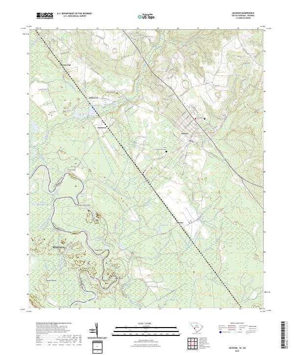
The Savannah River defines the western edge of this landscape, separating Aiken County, South Carolina, from Richmond County, Georgia. This reach of the river is characterized by complex hydrology including Little Brierpatch Lake, House Lake, and the winding High Bank Creek. Further inland, the settlement of Jackson serves as a primary hub, with its grid of streets such as Hattie St and Cassels St organized near the Jackson Cem.
Find a feature on this map
99 named features on this map. Tap any name to fly to it.
Don’t see what you’re looking for? This feature index may not catch every label — zoom into the map to look around manually.
Map Details
Date Portrayed2024
Date Published2024
PublisherU.S. Geological Survey
Map TypeTopographic
Scale1:24000
Physical Dimensions24 x 29 inches
Editions of this 2024 Jackson Map
This is the sole edition of this map. No revisions or reprints were ever made.
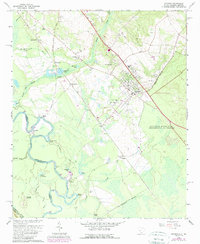
Historical Maps of Augusta Through Time
Featured Locations
Source Details
SourceU.S. Geological Survey
CopyrightPublic Domain