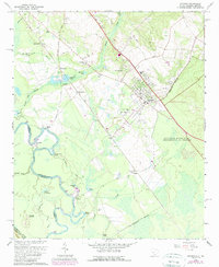
1965 Map of Jackson
USGS Topo · Published 1989About this map
Jackson stands as a central hub in this survey, which captures the intersection of industrial development and rural tradition in Aiken County during the mid-1960s. The eastern portion is dominated by the Savannah River Plant (Department of Energy), an Atomic Energy Commission facility that fundamentally reshaped the local landscape. Along the Savannah River, the map records numerous water features and historical crossing points such as Spanish Cut and Grays Landing, reflecting the area's river-dependent history.
Find a feature on this map
53 named features on this map. Tap any name to fly to it.
Don’t see what you’re looking for? This feature index may not catch every label — zoom into the map to look around manually.
Map Details
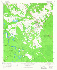
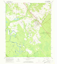
Editions of this 1965 Jackson Map
3 editions found
Other maps of this area

1920 · Ellenton
USGS Topo · 1:48,000

1920 · Greens Cut
USGS Topo · 1:62,500

1920 · Talatha
USGS Topo · 1:48,000

1921 · Augusta
USGS Topo · 1:62,500

1921 · Talatha
USGS Topo · 1:62,500

1921 · Ellenton
USGS Topo · 1:62,500

1943 · Greens Cut
USGS Topo · 1:62,500

1943 · Augusta East
USGS Topo · 1:125,000

1943 · Talatha
USGS Topo · 1:62,500

1943 · Augusta
USGS Topo · 1:62,500