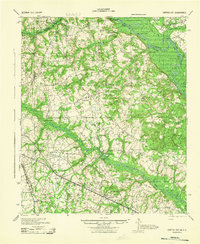
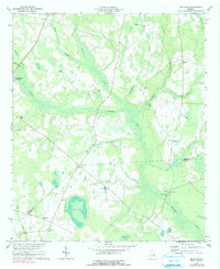
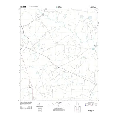
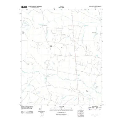
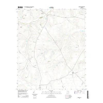
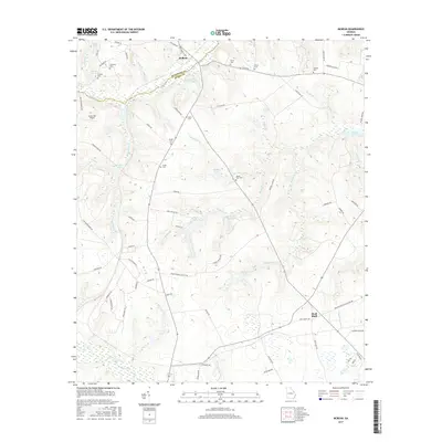
1943 Map of Greens Cut
USGS Topo · Published 1943About this map
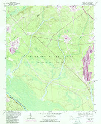
The Savannah River defines the eastern boundary of this Georgia landscape, where agricultural settlements and country crossroads were connected by a dense network of early thoroughfares. The Old Savannah Road and the Augusta and Savannah Road illustrate the region's historic reliance on river-parallel transit, while the Georgia and Florida RR and Central of Georgia tracks mark the rail era's influence on local commerce. Smaller communities like Greens Cut and Alexander serve as hubs for scattered rural institutions, including Hatchers Ch, Ebenezer Ch, and the Battsford Sch. Along the riverbanks, landings such as Shell Bluff Landing and Flowery Gap Landing point to the enduring importance of the waterway. Inland, the course of Brier Creek is punctuated by historic crossings at Rays Bridge and Thompsons Bridge, near the site of Hatchers Mill.
Find a feature on this map
51 named features on this map. Tap any name to fly to it.
Don’t see what you’re looking for? This feature index may not catch every label — zoom into the map to look around manually.
Map Details
Editions of this 1943 Greens Cut Map
This is the sole edition of this map. No revisions or reprints were ever made.
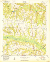
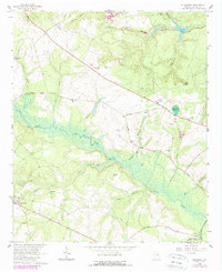
Historical Maps of Augusta Through Time
45 maps found
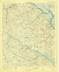
1920 Greens Cut
Burke County, GA
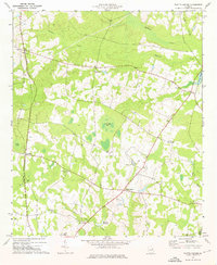
1943 Greens Cut
Burke County, GA
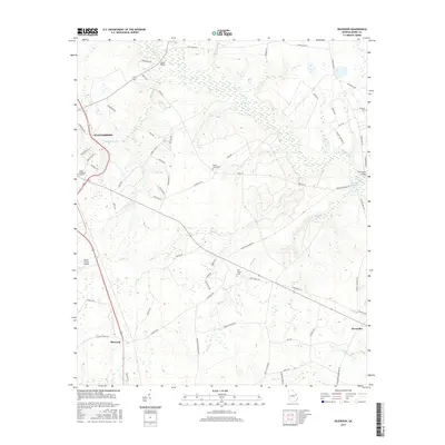
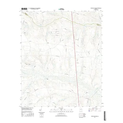
1950 Storys Millpond
Burke County, GA
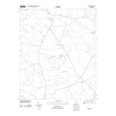
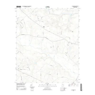
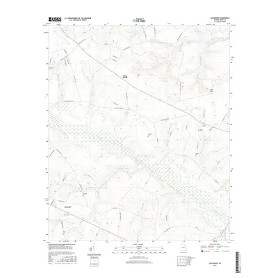
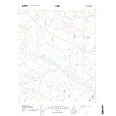
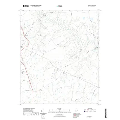
1964 Alexander
Burke County, GA
1964 Girard NW
Burke County, GA
1964 Idlewood
Burke County, GA
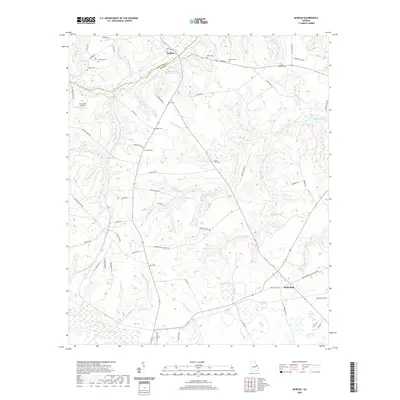
1964 Mc Bean
Burke County, GA
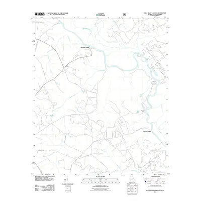
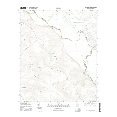
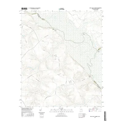
1965 Shell Bluff Landing
Burke County, GA
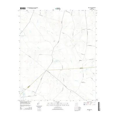
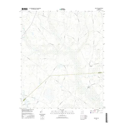
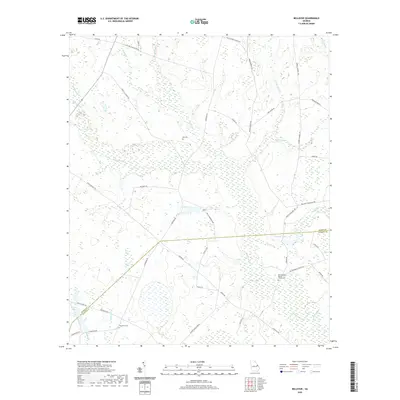
1974 Bellevue
Burke County, GA
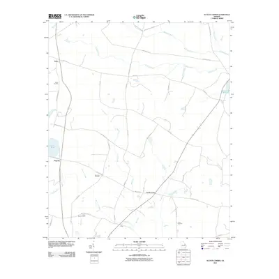
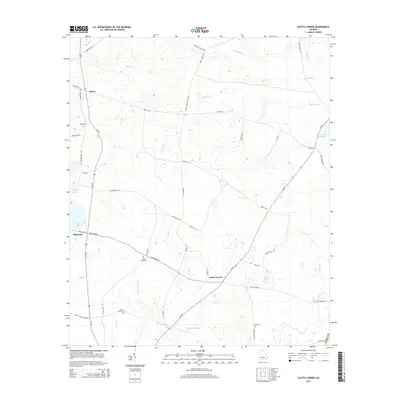
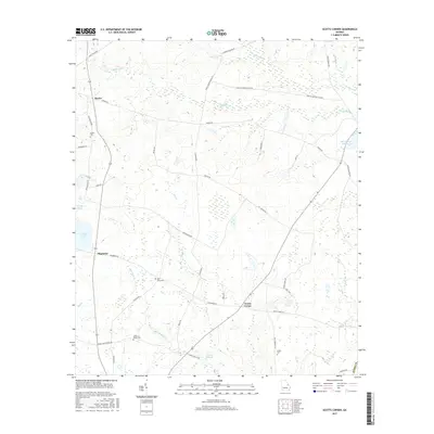
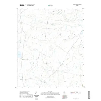
1974 Scotts Corner
Burke County, GA
2011 Alexander
Burke County, GA
2011 Bellevue
Burke County, GA
2011 Idlewood
Burke County, GA
2011 McBean
Burke County, GA
2011 Scotts Corner
Burke County, GA
2011 Shell Bluff Landing
Burke County, GA
2011 Storys Millpond
Burke County, GA
2014 Alexander
Burke County, GA
2014 Bellevue
Burke County, GA
2014 Idlewood
Burke County, GA
2014 McBean
Burke County, GA
2014 Scotts Corner
Burke County, GA
2014 Shell Bluff Landing
Burke County, GA
2014 Storys Millpond
Burke County, GA
2017 Alexander
Burke County, GA
2017 Bellevue
Burke County, GA
2017 Idlewood
Burke County, GA
2017 McBean
Burke County, GA
2017 Scotts Corner
Burke County, GA
2017 Shell Bluff Landing
Burke County, GA
2017 Storys Millpond
Burke County, GA
2020 Alexander
Burke County, GA
2020 Bellevue
Burke County, GA
2020 Idlewood
Burke County, GA
2020 McBean
Burke County, GA
2020 Scotts Corner
Burke County, GA
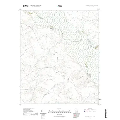
2020 Shell Bluff Landing
Burke County, GA

2020 Storys Millpond
Burke County, GA
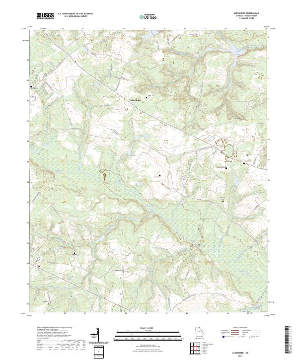
2024 Alexander
Burke County, GA
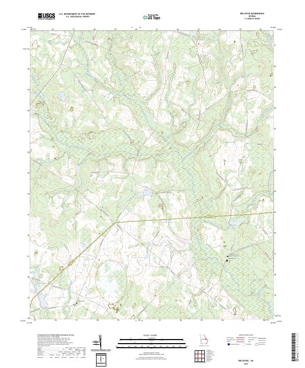
2024 Bellevue
Burke County, GA
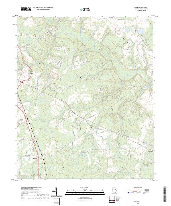
2024 Idlewood
Burke County, GA
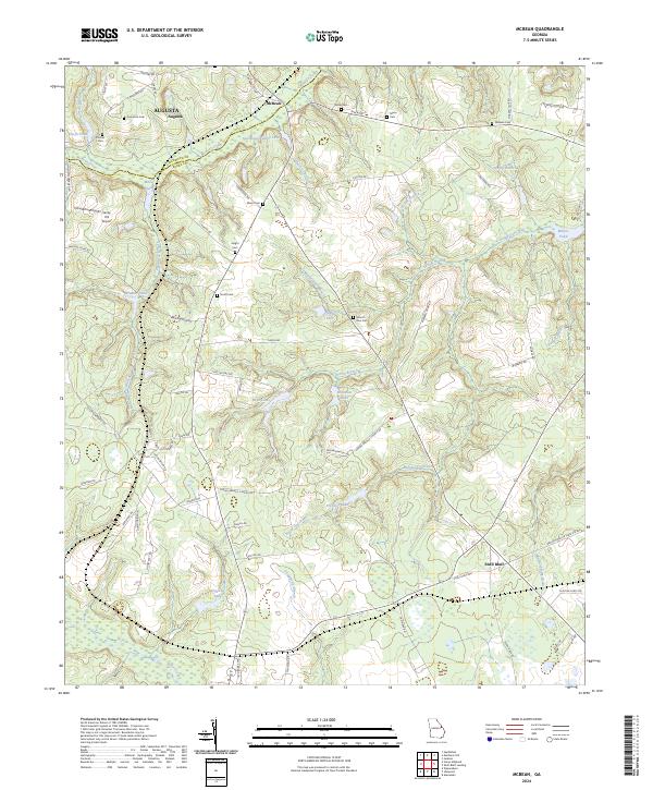
2024 McBean
Burke County, GA
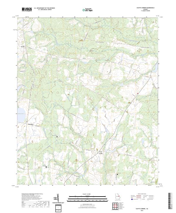
2024 Scotts Corner
Burke County, GA
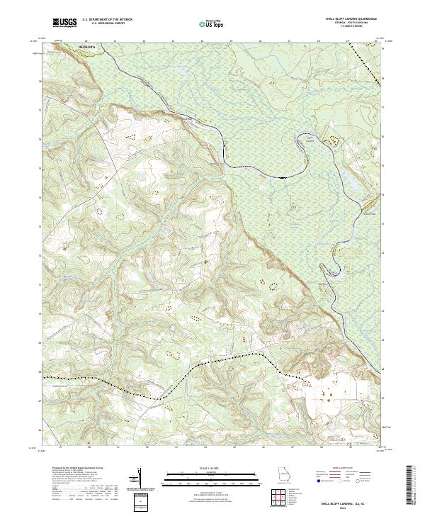
2024 Shell Bluff Landing
Burke County, GA
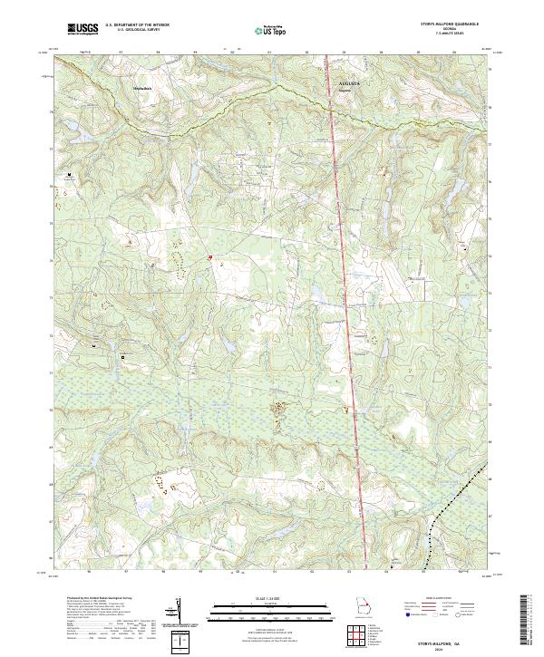
2024 Storys Millpond
Burke County, GA