
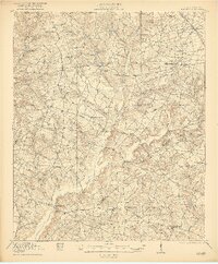
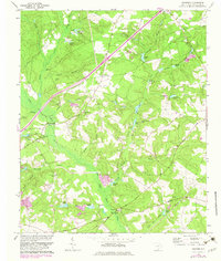
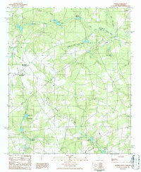
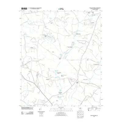
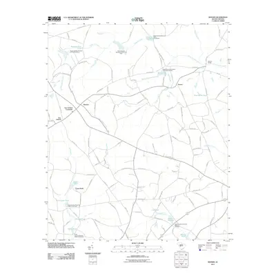
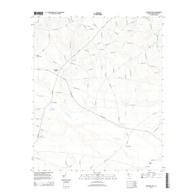
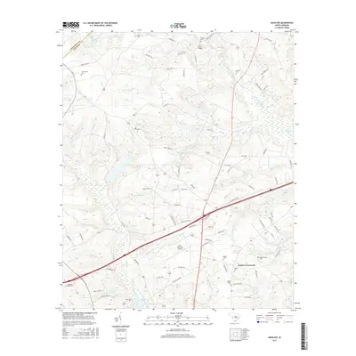
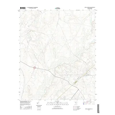
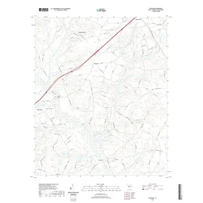
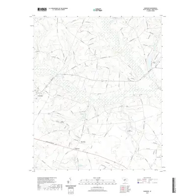
1921 Map of Talatha
USGS Topo · Published 1921About this map
Upper Three Runs and Tinker Creek define the drainage patterns of this rural landscape in Aiken County shortly after the First World War. The region is marked by an intensive network of named wagon roads that connect isolated farmsteads and community centers, including the historic Whisky Road, Barnwell Road, and Aiken and Greenland Road. These routes provide the structural framework for a society centered on rural education and worship, evidenced by the high density of neighborhood institutions such as Fairview School, Talatha School, and Green Pond Church.
Find a feature on this map
51 named features on this map. Tap any name to fly to it.
Don’t see what you’re looking for? This feature index may not catch every label — zoom into the map to look around manually.
Map Details
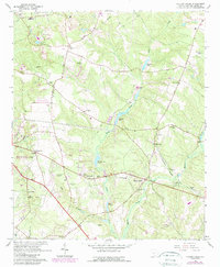
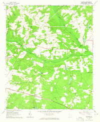
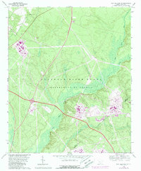
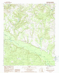
Editions of this 1921 Talatha Map
3 editions found
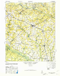
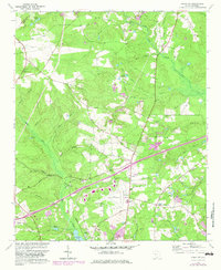
Historical Maps of Aiken Through Time
46 maps found

1920 Talatha
Aiken County, SC
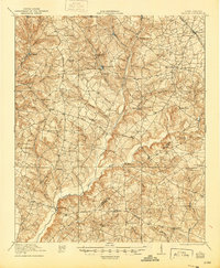
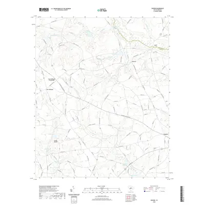
1921 Talatha
Aiken County, SC

1943 Talatha
Aiken County, SC
1944 Seivern
Aiken County, SC
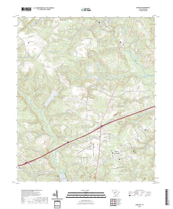
1964 Aiken NW
Aiken County, SC
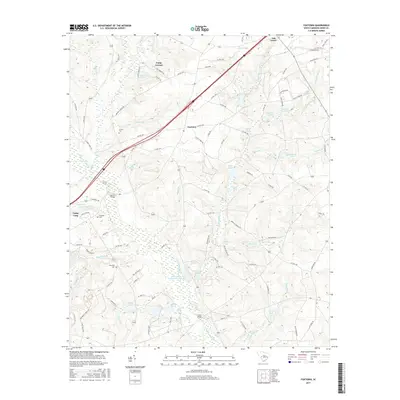
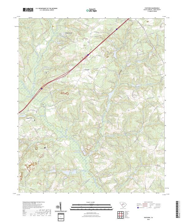
1964 Foxtown
Aiken County, SC
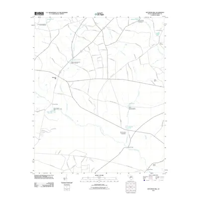
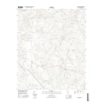
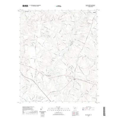
1964 Hollow Creek
Aiken County, SC
1964 Oakwood
Aiken County, SC
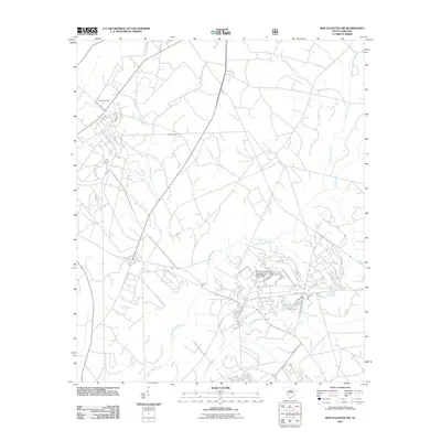
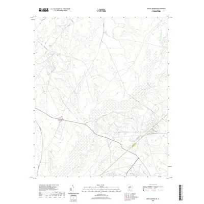
1965 New Ellenton SW
Aiken County, SC
1986 Seivern
Aiken County, SC
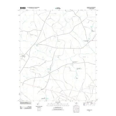
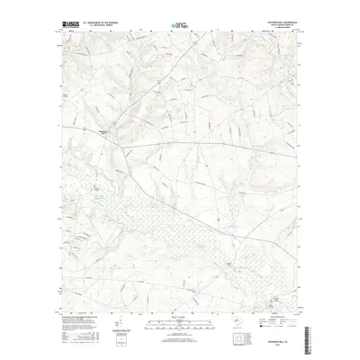
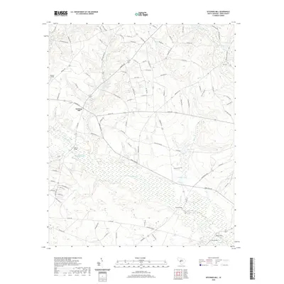
1988 Kitchings Mill
Aiken County, SC
2011 Aiken NW
Aiken County, SC
2011 Foxtown
Aiken County, SC
2011 Hollow Creek
Aiken County, SC
2011 Kitchings Mill
Aiken County, SC
2011 New Ellenton SW
Aiken County, SC
2011 Oakwood
Aiken County, SC
2011 Seivern
Aiken County, SC
2014 Aiken NW
Aiken County, SC
2014 Foxtown
Aiken County, SC
2014 Hollow Creek
Aiken County, SC
2014 Kitchings Mill
Aiken County, SC
2014 New Ellenton SW
Aiken County, SC
2014 Oakwood
Aiken County, SC
2014 Seivern
Aiken County, SC
2017 Aiken NW
Aiken County, SC
2017 Foxtown
Aiken County, SC
2017 Hollow Creek
Aiken County, SC
2017 Kitchings Mill
Aiken County, SC
2017 New Ellenton SW
Aiken County, SC
2017 Oakwood
Aiken County, SC
2017 Seivern
Aiken County, SC
2020 Aiken NW
Aiken County, SC
2020 Foxtown
Aiken County, SC
2020 Hollow Creek
Aiken County, SC
2020 Kitchings Mill
Aiken County, SC
2020 New Ellenton SW
Aiken County, SC
2020 Oakwood
Aiken County, SC
2020 Seivern
Aiken County, SC
2024 Aiken NW
Aiken County, SC
2024 Foxtown
Aiken County, SC
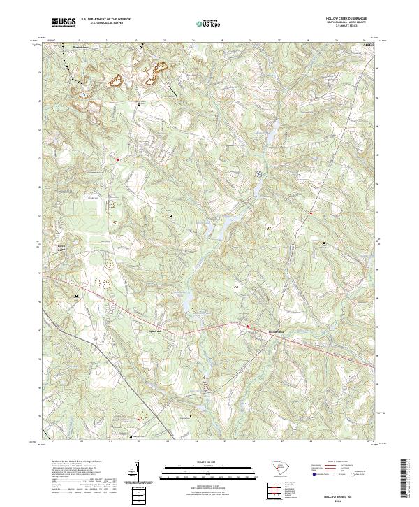
2024 Hollow Creek
Aiken County, SC
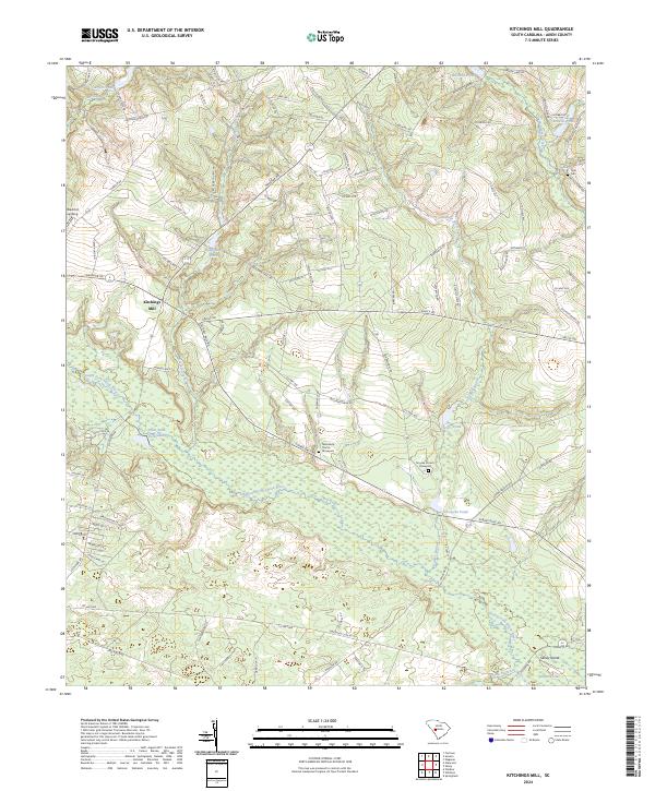
2024 Kitchings Mill
Aiken County, SC
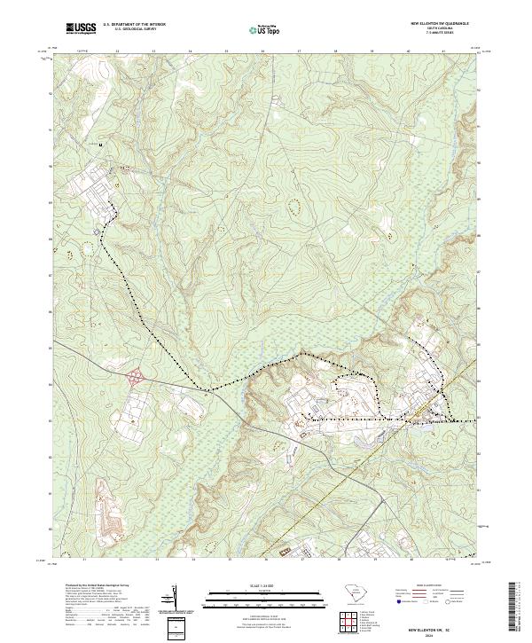
2024 New Ellenton SW
Aiken County, SC
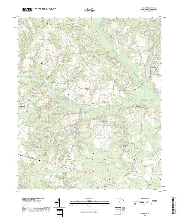
2024 Oakwood
Aiken County, SC
2024 Seivern
Aiken County, SC