
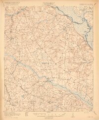
1920 Map of Greens Cut
USGS Topo · Published 1920About this map
Savannah River bottomlands and the agrarian uplands of Burke County define this 1920 survey. The landscape is interconnected by historic transit corridors like the Old Savannah Road and the Augusta Waynesboro Road, which support a dense network of early 20th-century rural communities. Small settlements such as Greens Cut and Alexander appear alongside several institutional landmarks, including Bottsford School & Church and Jobs Spring Church.
Find a feature on this map
51 named features on this map. Tap any name to fly to it.
Don’t see what you’re looking for? This feature index may not catch every label — zoom into the map to look around manually.
Map Details
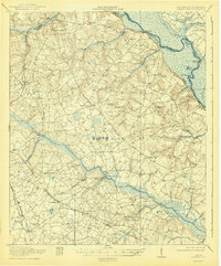
Editions of this 1920 Greens Cut Map
3 editions found
Other maps of this area

1919 · Gough
USGS Topo · 1:62,500

1920 · Ellenton
USGS Topo · 1:48,000

1920 · Hilltonia
USGS Topo · 1:62,500

1920 · Millen
USGS Topo · 1:62,500

1920 · Talatha
USGS Topo · 1:48,000

1921 · Augusta
USGS Topo · 1:62,500

1921 · Talatha
USGS Topo · 1:62,500

1921 · Ellenton
USGS Topo · 1:62,500

1922 · Hephzibah
USGS Topo · 1:62,500

1943 · Hilltonia
USGS Topo · 1:62,500