
Loading...
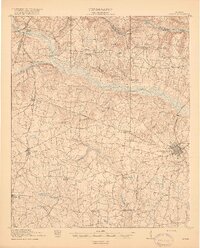
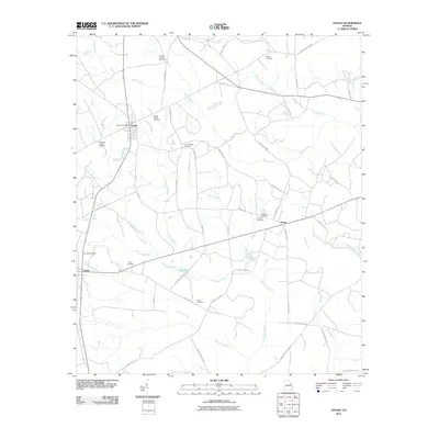
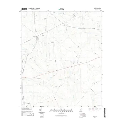
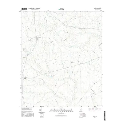
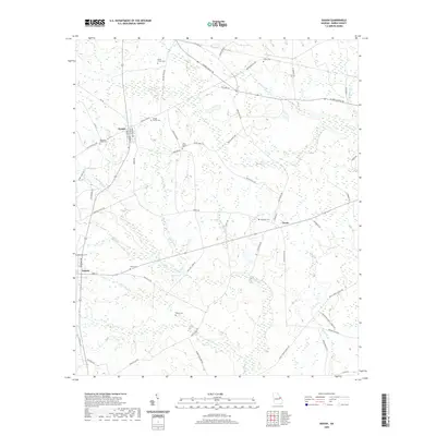
Loading map...1919 Map of Gough
USGS Topo · Published 1919About this map
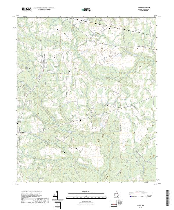
Brier Creek and its southern tributary, Buckhead Creek, carve a rolling landscape through Burke County, defining the early 20th-century settlement patterns of eastern Georgia. This survey, conducted in cooperation with the War Department, reveals a dense network of rural infrastructure centered around Waynesboro. Small communities like Gough, Vidette, and Keysville are linked by the Georgia and Florida and Augusta Southern railroads, which facilitated the movement of goods and people across the coastal plain.
Find a feature on this map
49 named features on this map. Tap any name to fly to it.
Don’t see what you’re looking for? This feature index may not catch every label — zoom into the map to look around manually.
Map Details
Date Portrayed1919
Date Published1919
PublisherU.S. Geological Survey
Map TypeTopographic
Scale1:62,500
Physical Dimensions16.6 x 19.9 inches
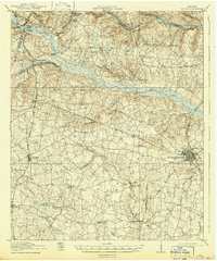
Editions of this 1919 Gough Map
3 editions found
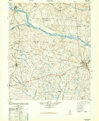
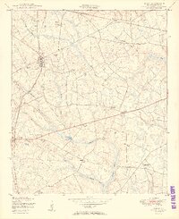
Historical Maps of Augusta Through Time
8 maps found
Featured Locations
Source Details
SourceU.S. Geological Survey
CopyrightPublic Domain