
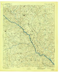
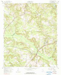
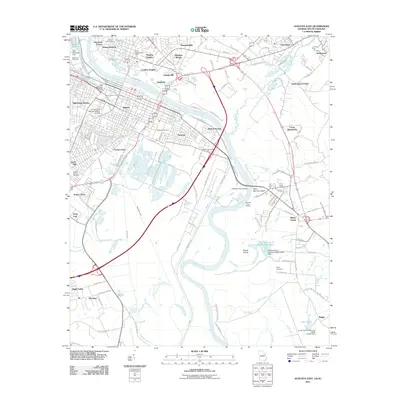
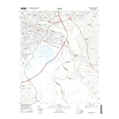
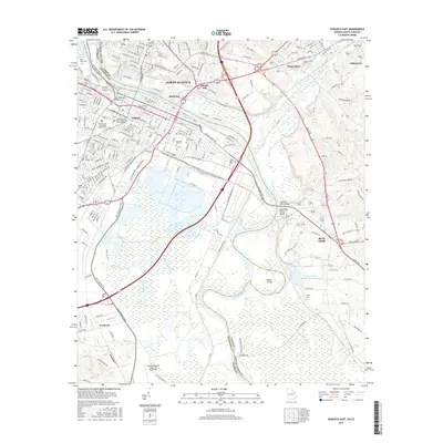
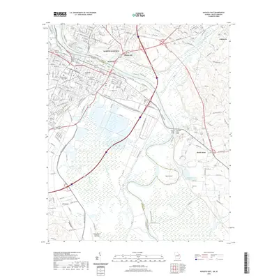
1943 Map of Augusta East
USGS Topo · Published 1943About this map
The Savannah River corridor defines this landscape during the early 1940s, serving as the border between Georgia and South Carolina. This survey captures a specific agricultural and industrial moment before major mid-century infrastructure changes altered the region. Numerous river landings and bluffs, such as Little Hell Landing and Shell Bluff, reflect a geography tied closely to water transport, while the Charleston and Western Carolina and Southern railroads connect inland settlements like Ellenton and Beech Island. The map is particularly detailed regarding rural social centers, documenting dozens of churches and schools such as Downer Institute, Capers Chapel, and the Good Hope School. Industry is represented by several localized operations including Hatchers Mill, Thalmans Mill, and the Craig Sawmill, illustrating the local timber and milling economy that supported these communities.
Find a feature on this map
90 named features on this map. Tap any name to fly to it.
Don’t see what you’re looking for? This feature index may not catch every label — zoom into the map to look around manually.
Map Details
Editions of this 1943 Augusta East Map
This is the sole edition of this map. No revisions or reprints were ever made.
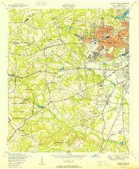
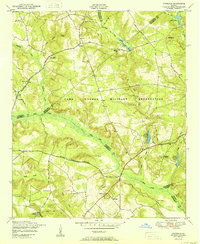
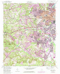
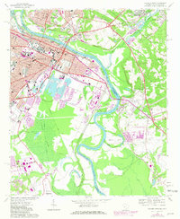
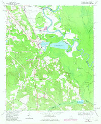
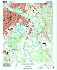
Historical Maps of Augusta Through Time
30 maps found
1892 Mc Cormick
Richmond County, GA

1912 Mc Cormick
Richmond County, GA
1943 Augusta East
Richmond County, GA
1950 Augusta West
Richmond County, GA
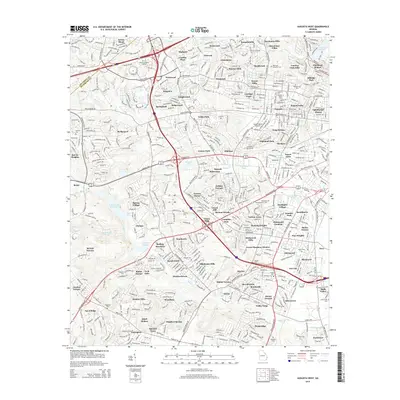
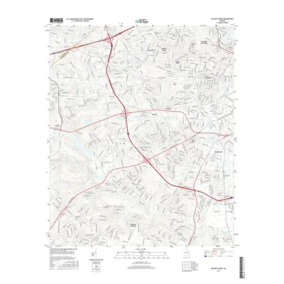
1950 Avondale
Richmond County, GA
1957 Augusta West
Richmond County, GA
1957 Avondale
Richmond County, GA
1965 Augusta East
Richmond County, GA
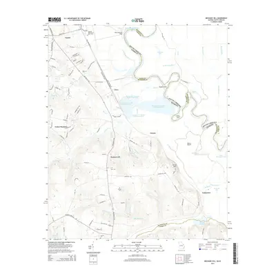
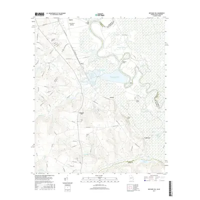
1965 Mechanic Hill
Richmond County, GA
1995 Augusta East
Richmond County, GA
2011 Augusta East
Richmond County, GA
2011 Augusta West
Richmond County, GA
2011 Avondale
Richmond County, GA
2011 Mechanic Hill
Richmond County, GA
2014 Augusta East
Richmond County, GA
2014 Augusta West
Richmond County, GA
2014 Avondale
Richmond County, GA
2014 Mechanic Hill
Richmond County, GA
2017 Augusta East
Richmond County, GA
2017 Augusta West
Richmond County, GA
2017 Avondale
Richmond County, GA
2017 Mechanic Hill
Richmond County, GA
2020 Augusta East
Richmond County, GA

2020 Augusta West
Richmond County, GA
2020 Avondale
Richmond County, GA
2020 Mechanic Hill
Richmond County, GA
2024 Augusta East
Richmond County, GA
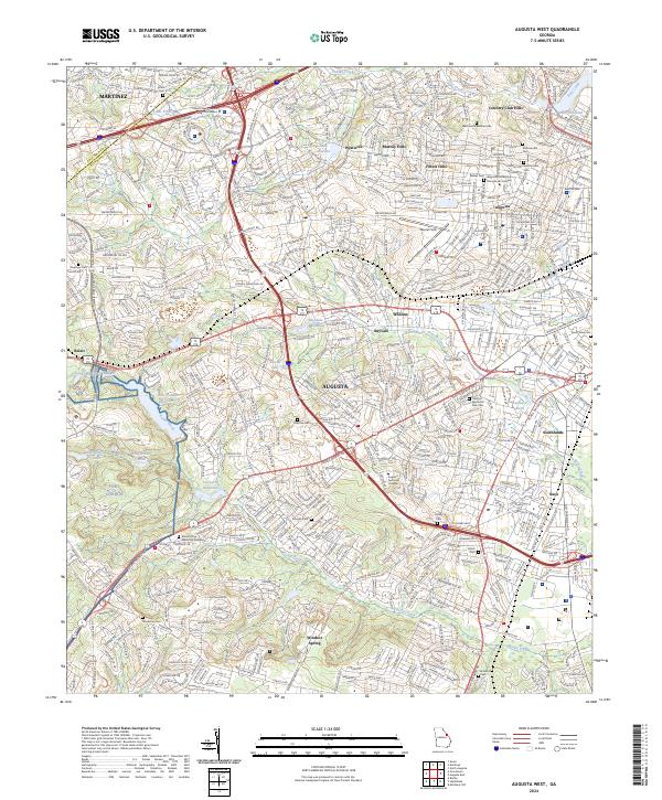
2024 Augusta West
Richmond County, GA
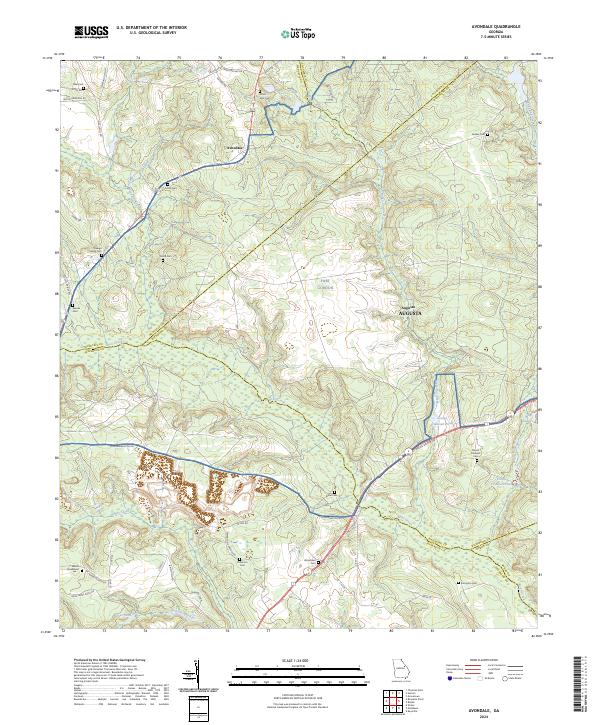
2024 Avondale
Richmond County, GA
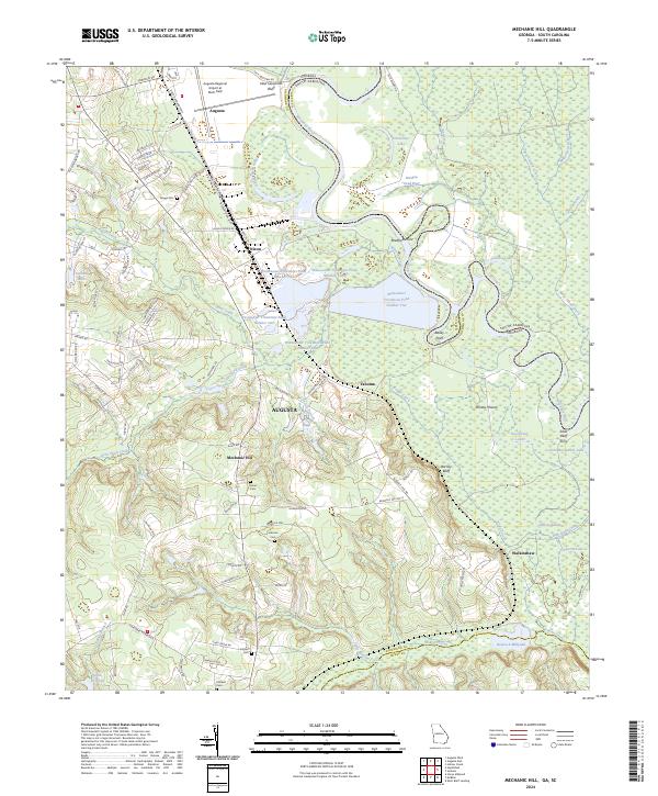
2024 Mechanic Hill
Richmond County, GA