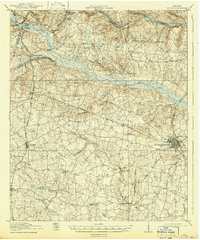
1919 Map of Gough
USGS Topo · Published 1942About this map
Waynesboro serves as the eastern anchor of this rural Burke County landscape, where the Georgia and Florida railroad intersects with the Savannah and Atlanta line. The terrain is defined by the winding course of Brier Creek, which forms much of the northern boundary of the quadrangle. This 1918 survey documents a densely populated agricultural interior, evidenced by a remarkable concentration of community institutions like Boggs Academy, Noahs Ark School, and Hopeful Church. Early transport routes, including the Savannah and Atlanta Road and Quaker Road, cut across the ridges and branches of Buckhead Creek and McBean Creek, connecting small settlements like Gough and St Clair with the regional mills, such as Storys Mill. This map offers a clear view of the educational and spiritual hubs that anchored eastern Georgia's rural life before modern consolidation.
Find a feature on this map
46 named features on this map. Tap any name to fly to it.
Don’t see what you’re looking for? This feature index may not catch every label — zoom into the map to look around manually.
Map Details
Editions of this 1919 Gough Map
3 editions found
Other maps of this area

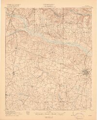
1919 · Gough
USGS Topo · 1:62,500

1920 · Stapleton
USGS Topo · 1:62,500

1920 · Millen
USGS Topo · 1:62,500

1920 · Greens Cut
USGS Topo · 1:62,500

1921 · Augusta
USGS Topo · 1:62,500

1922 · Harlem
USGS Topo · 1:62,500

1922 · Hephzibah
USGS Topo · 1:62,500

1943 · Greens Cut
USGS Topo · 1:62,500

1943 · Millen
USGS Topo · 1:62,500

1943 · Augusta East
USGS Topo · 1:125,000