
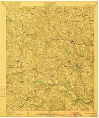
1922 Map of Harlem
USGS Topo · Published 1922About this map
The Georgia Railroad serves as the primary artery through this East Georgia landscape, connecting a string of small depots and settlements including Dearing, Bonesville, Sawdust, and Harlem. This early twentieth-century survey captures a rural economy defined by local milling and a dense network of country schools and churches. Numerous family-named institutions like the McNair School, Purvis School, and Marshall Church are scattered across the terrain, indicating the highly localized nature of community life before the consolidation of rural services.
Find a feature on this map
95 named features on this map. Tap any name to fly to it.
Don’t see what you’re looking for? This feature index may not catch every label — zoom into the map to look around manually.
Map Details
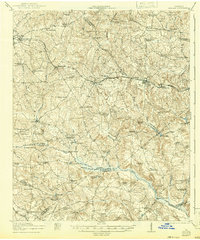
Editions of this 1922 Harlem Map
3 editions found
Other maps of this area

1892 · Mc Cormick
USGS Topo · 1:125,000

1906 · Crawfordville
USGS Topo · 1:125,000

1912 · Mc Cormick
USGS Topo · 1:125,000

1919 · Gough
USGS Topo · 1:62,500

1920 · Stapleton
USGS Topo · 1:62,500

1920 · Clarks Hill
USGS Topo · 1:48,000

1921 · Clarks Hill
USGS Topo · 1:62,500

1921 · Appling
USGS Topo · 1:62,500

1922 · Hephzibah
USGS Topo · 1:62,500

1941 · Clarks Hill
USGS Topo · 1:62,500