Loading...
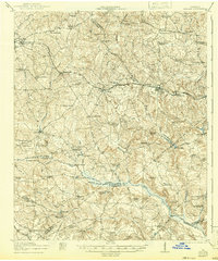
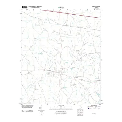
Loading map...1922 Map of Harlem
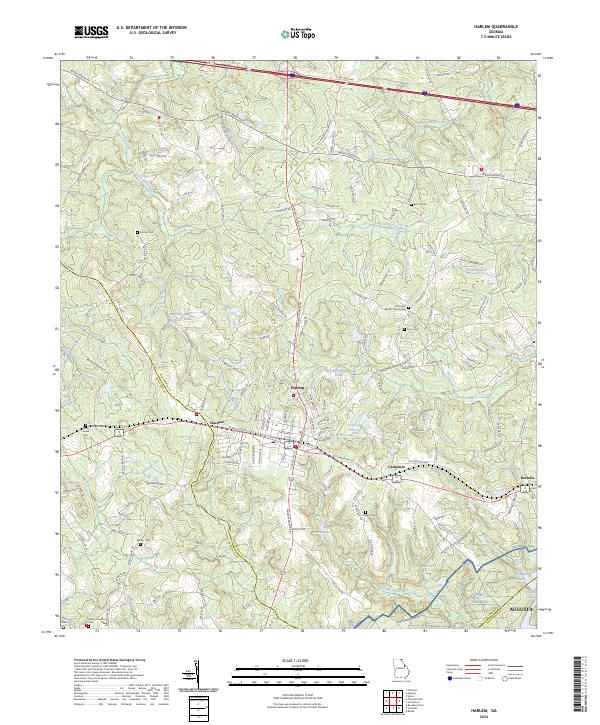
USGS Topo · Published 1942About this map
Thomson and Harlem anchor this agricultural landscape in the early 20th century, serving as key hubs along the Georgia Railroad. The map reveals a dense network of rural community centers, with numerous schools and churches such as Marshall School, Fairmont School, and Iron Hill Church dotting the countryside. This era shows a society still deeply connected to its local waterways for industry and transit, evidenced by the presence of Hobbs Mill, Arrington Mill, and Burch Mill along the region's creeks.
Find a feature on this map
88 named features on this map. Tap any name to fly to it.
Don’t see what you’re looking for? This feature index may not catch every label — zoom into the map to look around manually.
Map Details
Date Portrayed1922
Date Published1942
PublisherU.S. Geological Survey
Map TypeTopographic
Scale1:62,500
Physical Dimensions16.6 x 19.9 inches
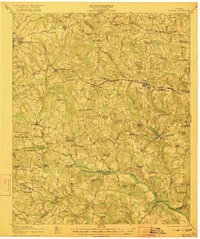
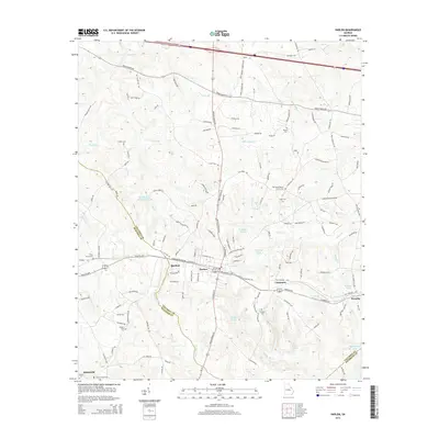
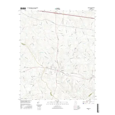
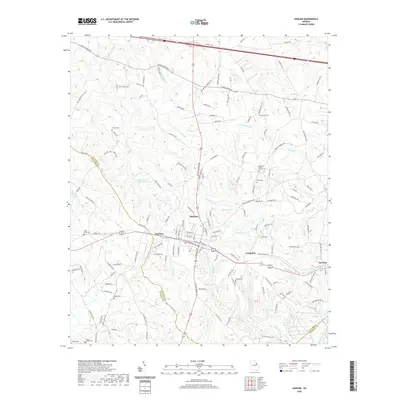
Editions of this 1922 Harlem Map
3 editions found

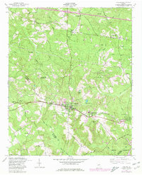
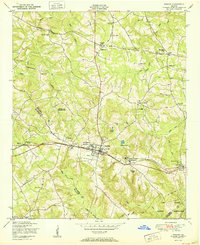
Historical Maps of Augusta Through Time
9 maps found

Featured Locations
Source Details
SourceU.S. Geological Survey
CopyrightPublic Domain