
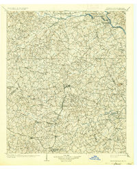
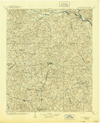
1906 Map of Crawfordville
USGS Topo · Published 1906About this map
The Kettle Creek Battlefield sits at the heart of this survey, marking a significant Revolutionary War site within a landscape of early 20th-century agriculture and industry. The Broad River and Little River define the region's transport network, with numerous historical crossings such as Fishdam Ferry, Bakers Ferry, and Anthony Ferry serving the rural communities of Wilkes and Taliaferro counties. Small post offices and crossroads like Triplett P.O. and Graball illustrate the dense network of early Georgia settlements before modern infrastructure bypassed many local hubs.
Find a feature on this map
127 named features on this map. Tap any name to fly to it.
Don’t see what you’re looking for? This feature index may not catch every label — zoom into the map to look around manually.
Map Details
Editions of this 1906 Crawfordville Map
3 editions found
Other maps of this area

1891 · Carnesville
USGS Topo · 1:125,000

1892 · Mc Cormick
USGS Topo · 1:125,000

1892 · Abbeville
USGS Topo · 1:125,000

1893 · Elberton
USGS Topo · 1:125,000

1912 · Mc Cormick
USGS Topo · 1:125,000

1921 · Appling
USGS Topo · 1:62,500

1922 · Harlem
USGS Topo · 1:62,500

1943 · Appling
USGS Topo · 1:62,500

1948 · Harlem
USGS Topo · 1:62,500

1948 · Thomson East
USGS Topo · 1:24,000