Loading...
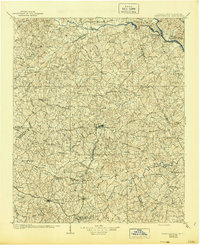
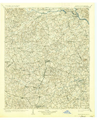
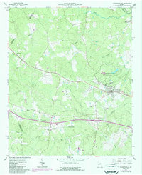
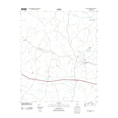
Loading map...1906 Map of Crawfordville
USGS Topo · Published 1944About this map
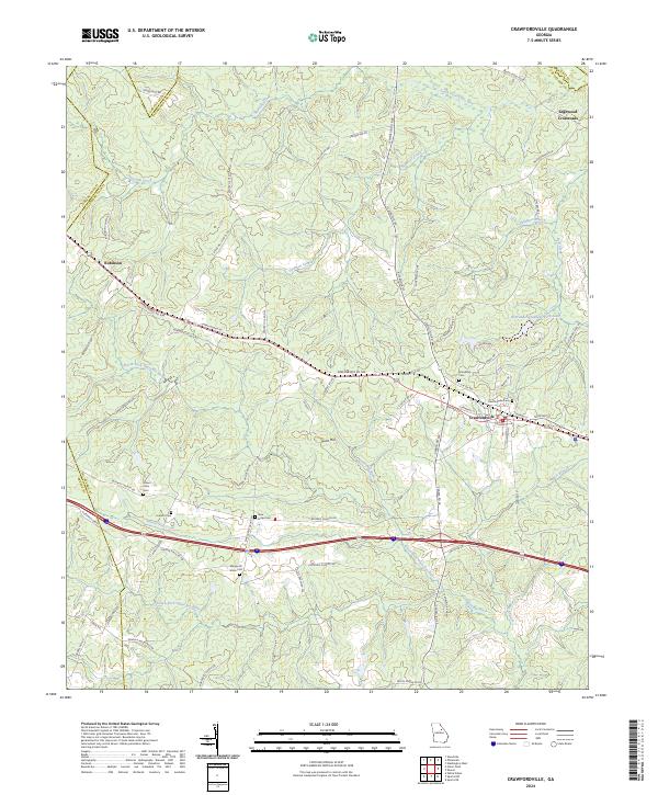
The Broad River and Savannah River converge at the historic site of Petersburg, a once-vital river town at the northeast corner of this early twentieth-century landscape. This map captures a region defined by its waterway-driven economy and the transition to rail, with the Georgia RR serving southern settlements like Crawfordville and Barnett. A significant mining footprint is evident across the terrain, from the Columbia Mines and Tatham Mines near the river to the Fairy Ridge Mine further west.
Find a feature on this map
109 named features on this map. Tap any name to fly to it.
Don’t see what you’re looking for? This feature index may not catch every label — zoom into the map to look around manually.
Map Details
Date Portrayed1906
Date Published1944
PublisherU.S. Geological Survey
Map TypeTopographic
Scale1:125,000
Physical Dimensions17.1 x 20.9 inches
Editions of this 1906 Crawfordville Map
3 editions found

Historical Maps of Washington Through Time
7 maps found
Featured Locations
Source Details
SourceU.S. Geological Survey
CopyrightPublic Domain