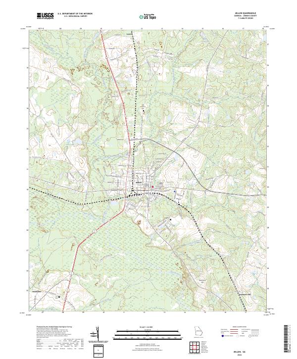
1943 Map of Millen
USGS Topo · Published 1943About this map
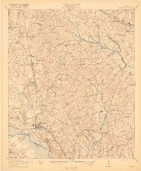
Sylvania and Millen serve as central hubs in this 1943 War Department survey, which details a landscape defined by its river systems and expansive rail networks. The Savannah River forms the eastern boundary, while the Ogeechee River and Brier Creek carve through the terrain, supporting local industry at sites like Meldrim Mill Pond. This era shows a high density of rural social centers, with numerous country schools and houses of worship such as St Paul Sch, Habersham Sch, and Lee Memorial Ch anchoring local communities.
Find a feature on this map
130 named features on this map. Tap any name to fly to it.
Don’t see what you’re looking for? This feature index may not catch every label — zoom into the map to look around manually.
Map Details
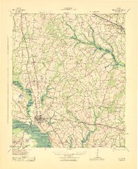
Editions of this 1943 Millen Map
This is the sole edition of this map. No revisions or reprints were ever made.
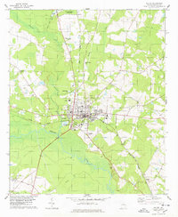
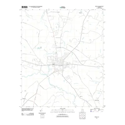
Historical Maps of Millen Through Time
9 maps found