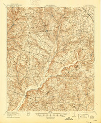
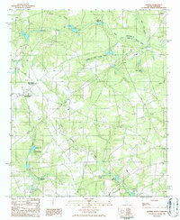
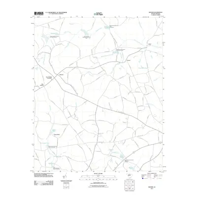
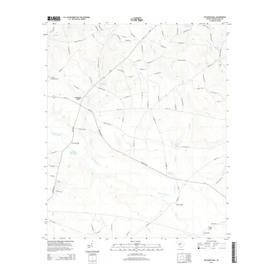
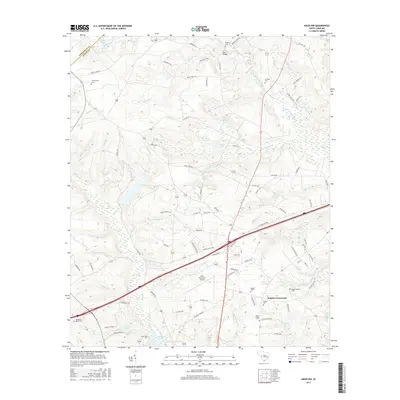
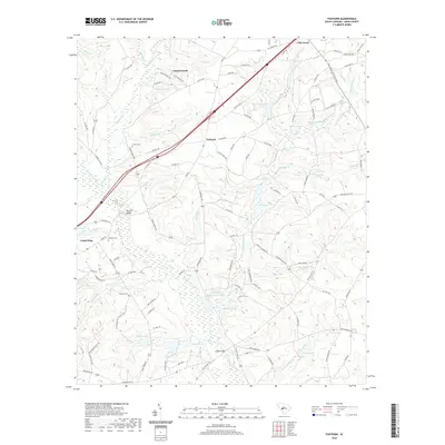
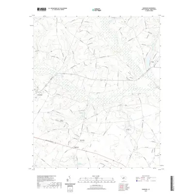
1921 Map of Talatha
USGS Topo · Published 1944About this map
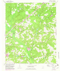
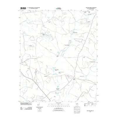
Upper Three Runs and its numerous tributaries, including Tinker Creek, carve a complex drainage pattern through this section of South Carolina. The settlement of Talatha serves as a central point for a network of rural roads such as the Augusta Road and the Barnwell Road. This 1921 survey illustrates an era of distributed rural life, characterized by a high density of community landmarks like Rosemary Church, Cedar Creek Church, and Fair Church. Educational life is equally localized, with numerous one-room schoolhouses such as Hickory Grove School and Wolfpit School dotting the landscape. In the northeast, the Southern railroad passes through Windsor, while Thalmans Mill represents the local industry found along the smaller creeks. The presence of a prominent Boundary Line suggests early land divisions or administrative borders within the county.
Find a feature on this map
52 named features on this map. Tap any name to fly to it.
Don’t see what you’re looking for? This feature index may not catch every label — zoom into the map to look around manually.
Map Details
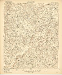
Editions of this 1921 Talatha Map
3 editions found

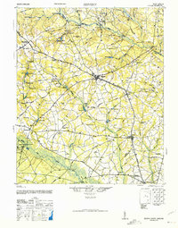
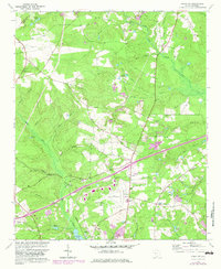
Historical Maps of Aiken Through Time
46 maps found

1920 Talatha
Aiken County, SC
1921 Talatha
Aiken County, SC

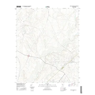
1943 Talatha
Aiken County, SC
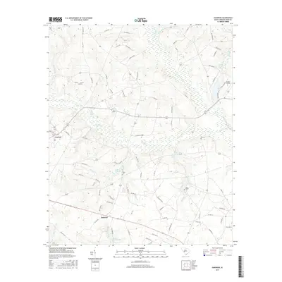
1944 Seivern
Aiken County, SC
1964 Aiken NW
Aiken County, SC
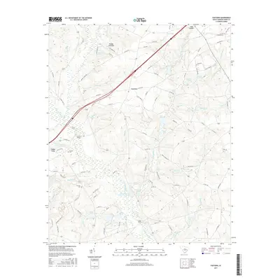
1964 Foxtown
Aiken County, SC
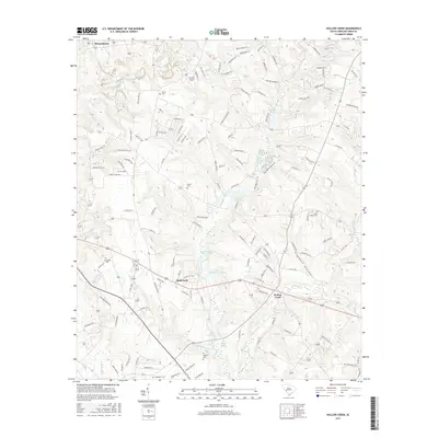
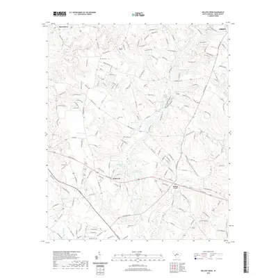
1964 Hollow Creek
Aiken County, SC
1964 Oakwood
Aiken County, SC
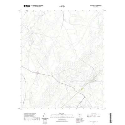
1965 New Ellenton SW
Aiken County, SC
1986 Seivern
Aiken County, SC
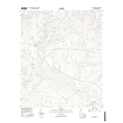
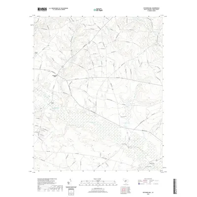
1988 Kitchings Mill
Aiken County, SC
2011 Aiken NW
Aiken County, SC
2011 Foxtown
Aiken County, SC
2011 Hollow Creek
Aiken County, SC
2011 Kitchings Mill
Aiken County, SC
2011 New Ellenton SW
Aiken County, SC
2011 Oakwood
Aiken County, SC
2011 Seivern
Aiken County, SC
2014 Aiken NW
Aiken County, SC
2014 Foxtown
Aiken County, SC
2014 Hollow Creek
Aiken County, SC
2014 Kitchings Mill
Aiken County, SC
2014 New Ellenton SW
Aiken County, SC
2014 Oakwood
Aiken County, SC
2014 Seivern
Aiken County, SC
2017 Aiken NW
Aiken County, SC
2017 Foxtown
Aiken County, SC
2017 Hollow Creek
Aiken County, SC
2017 Kitchings Mill
Aiken County, SC
2017 New Ellenton SW
Aiken County, SC
2017 Oakwood
Aiken County, SC
2017 Seivern
Aiken County, SC
2020 Aiken NW
Aiken County, SC
2020 Foxtown
Aiken County, SC
2020 Hollow Creek
Aiken County, SC
2020 Kitchings Mill
Aiken County, SC
2020 New Ellenton SW
Aiken County, SC
2020 Oakwood
Aiken County, SC
2020 Seivern
Aiken County, SC
2024 Aiken NW
Aiken County, SC
2024 Foxtown
Aiken County, SC
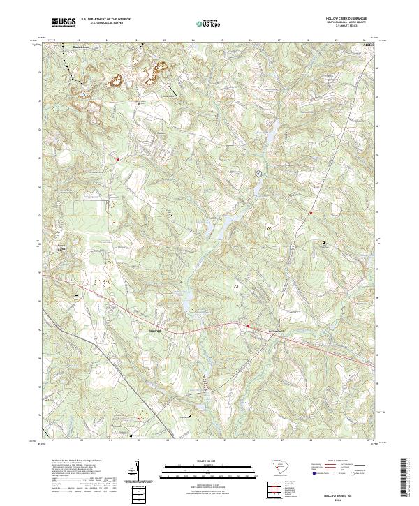
2024 Hollow Creek
Aiken County, SC
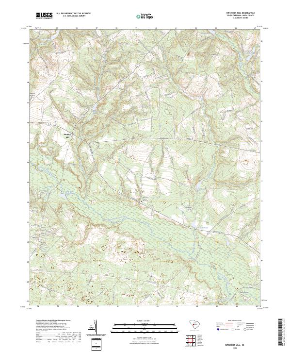
2024 Kitchings Mill
Aiken County, SC
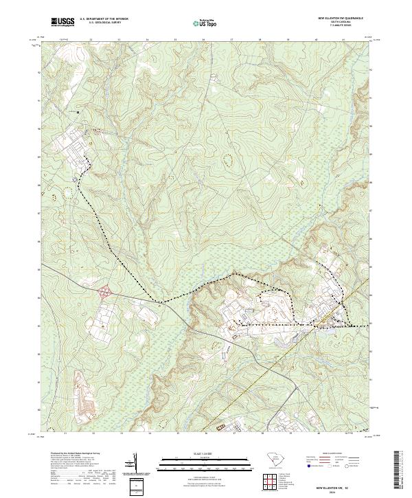
2024 New Ellenton SW
Aiken County, SC
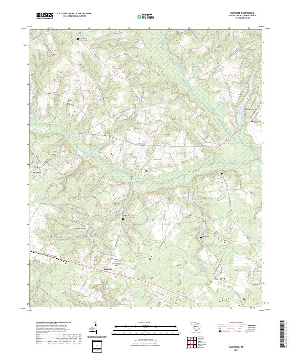
2024 Oakwood
Aiken County, SC
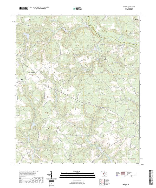
2024 Seivern
Aiken County, SC