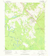
1965 Map of Jackson
USGS Topo · Published 1973About this map
The U S Reservation Savannah River Plant dominates the southeastern portion of this landscape, marking a significant era of Cold War industrialization along the Georgia border. This mid-century survey illustrates the rural communities of Jackson, Kathwood, and Silver Bluff as they existed alongside the growing federal facility. The Seaboard Coast Line railroad runs northwest to southeast, connecting small settlements and industrial sites like the Claypit and Gravel Pit.
Find a feature on this map
51 named features on this map. Tap any name to fly to it.
Don’t see what you’re looking for? This feature index may not catch every label — zoom into the map to look around manually.
Map Details
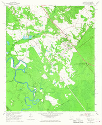
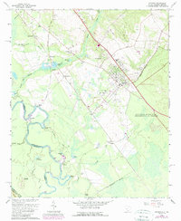
Editions of this 1965 Jackson Map
3 editions found
Other maps of this area

1920 · Ellenton
USGS Topo · 1:48,000

1920 · Greens Cut
USGS Topo · 1:62,500

1920 · Talatha
USGS Topo · 1:48,000

1921 · Augusta
USGS Topo · 1:62,500

1921 · Talatha
USGS Topo · 1:62,500

1921 · Ellenton
USGS Topo · 1:62,500

1943 · Greens Cut
USGS Topo · 1:62,500

1943 · Augusta East
USGS Topo · 1:125,000

1943 · Talatha
USGS Topo · 1:62,500

1943 · Augusta
USGS Topo · 1:62,500