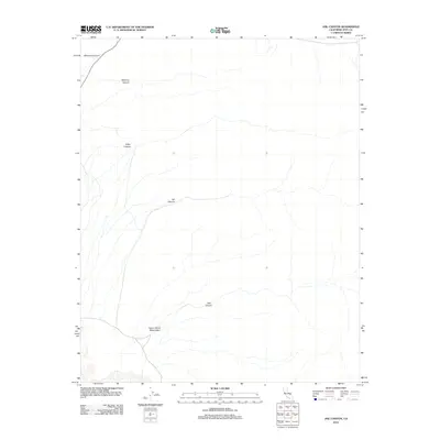
2012 Map of Jail Canyon
USGS Topo · Published 2012About this map
Indian Ranch Reservation occupies the southwestern portion of this Inyo County terrain, where a network of dry washes and unpaved routes descend from the high desert slopes. This 2012 survey by the U.S. Geological Survey provides a detailed view of the massive alluvial fans and deep incisions that define the eastern Panamint Valley landscape. A series of primary drainage systems, including Jail Canyon and Hall Canyon, trace the water's path toward the valley floor, showing the complex hydrology of the Basin and Range province. Further north, Tuber Canyon, Williams Canyon, and Wildrose Canyon illustrate the repetitive, steep-walled geology that historically isolated these remote tracts of land.
Find a feature on this map
7 named features on this map. Tap any name to fly to it.
Don’t see what you’re looking for? This feature index may not catch every label — zoom into the map to look around manually.
Map Details
Editions of this 2012 Jail Canyon Map
This is the sole edition of this map. No revisions or reprints were ever made.
Other maps of this area

1908 · Ballarat
USGS Topo · 1:250,000

1913 · Ballarat
USGS Topo · 1:250,000

1948 · Death Valley
USGS Topo · 1:250,000

1951 · Panamint Butte
USGS Topo · 1:62,500

1951 · Maturango Peak
USGS Topo · 1:62,500

1952 · Telescope Peak
USGS Topo · 1:62,500

1952 · Emigrant Canyon
USGS Topo · 1:62,500

1954 · Death Valley
USGS Topo · 1:250,000

1956 · Death Valley
USGS Topo · 1:250,000

1957 · Death Valley
USGS Topo · 1:250,000