
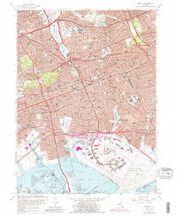
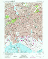
2023 Map of Jamaica
USGS Topo · Published 2023About this map
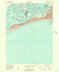
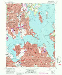
John F Kennedy International Airport dominates the southern landscape of this Queens study, marking the modern interface between the dense residential grid and the salt marshes of Jamaica Bay. The map reveals a complex urban geography of established neighborhoods like Forest Hills, Kew Gardens, and Jamaica, where major transportation arteries like the Grand Central Pkwy and Van Wyck Expy converge near the Jamaica Courthouse. Educational institutions such as CUNY Queens College and Saint John's University Queens Campus anchor the northern reaches of the district.
Find a feature on this map
105 named features on this map. Tap any name to fly to it.
Don’t see what you’re looking for? This feature index may not catch every label — zoom into the map to look around manually.
Map Details
Editions of this 2023 Jamaica Map
This is the sole edition of this map. No revisions or reprints were ever made.
Historical Maps of Inwood Through Time
15 maps found
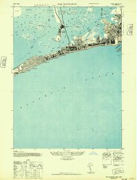
1947 Far Rockaway
Queens County, NY
1947 Flushing
Queens County, NY
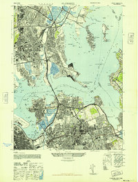
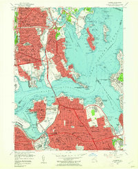
1947 Jamaica
Queens County, NY
1954 Far Rockaway
Queens County, NY
1955 Flushing
Queens County, NY
1957 Jamaica
Queens County, NY
1966 Flushing
Queens County, NY
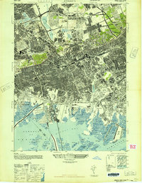
1966 Jamaica
Queens County, NY
1969 Far Rockaway
Queens County, NY
1979 Jamaica
Queens County, NY
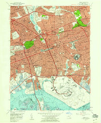
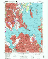
1994 Jamaica
Queens County, NY
1995 Flushing
Queens County, NY

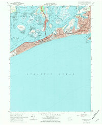
2023 Far Rockaway
Queens County, NY

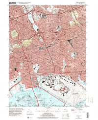
2023 Flushing
Queens County, NY
2023 Jamaica
Queens County, NY