Loading...
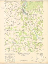
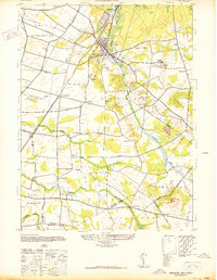
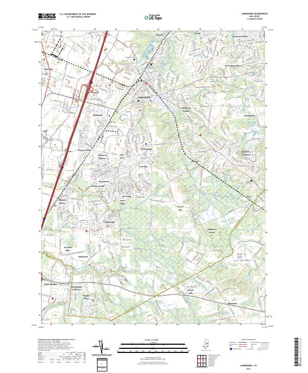
Loading map...1947 Map of Jamesburg
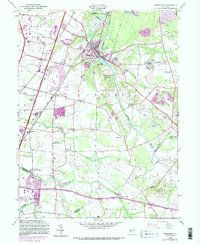
USGS Topo · Published 1947About this map
Jamesburg and Helmetta anchor this New Jersey landscape during a period of established rail infrastructure and institutional development. The Pennsylvania railroad network is central to the area's layout, with the Jamesburg State Reformatory occupying a significant tract to the east, complete with its own rail spur. This institutional presence, alongside the Monroe Sch and Monroe Sch No 2, highlights the civic character of the region as it stood in the late 1940s.
Find a feature on this map
41 named features on this map. Tap any name to fly to it.
Don’t see what you’re looking for? This feature index may not catch every label — zoom into the map to look around manually.
Map Details
Date Portrayed1947
Date Published1947
PublisherU.S. Geological Survey
Map TypeTopographic
Scale1:24,000
Physical Dimensions21.94 x 28.86 inches
Editions of this 1947 Jamesburg Map
This is the sole edition of this map. No revisions or reprints were ever made.
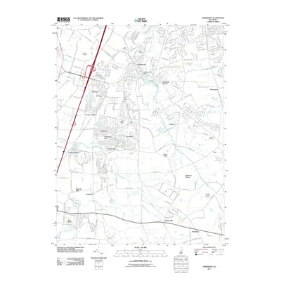
Historical Maps of Old Bridge Township Through Time
8 maps found
Featured Locations
- Manalapan Township, NJ
- South Brunswick, NJ
- East Brunswick Township, NJ
- Monroe Township, NJ
- Old Bridge Township, NJ
Source Details
SourceU.S. Geological Survey
CopyrightPublic Domain