
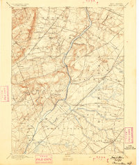
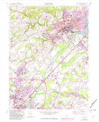
1888 Map of Princeton
USGS Topo · Published 1888About this map
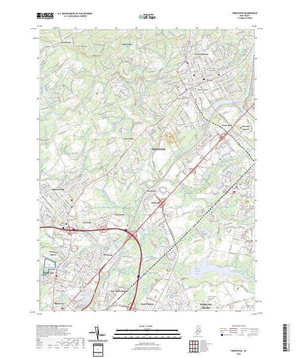
Princeton serves as the focal point of this late nineteenth-century landscape, where the academic hub is surrounded by a dense network of farming villages and emerging transit corridors. The Delaware and Raritan Canal carves a critical path alongside the Millstone River, facilitating transport through Kingston and Griggstown. The era's industrial and agricultural shift is evident in the convergence of major rail lines, including the Pennsylvania Railroad passing through Princeton Junction and Monmouth Junction, alongside the Philadelphia and Reading Railroad to the west. Local landmarks like Grover's Mill and Lawrenceville sit amidst a complex hydrology of small waterways such as Stony Brook and Beden's Brook. To the northeast, the terrain levels toward Pigeon Swamp and the Great Ditch, illustrating the varied geography from the heights of Rocky Hill to the fertile plains of Cranbury.
Find a feature on this map
84 named features on this map. Tap any name to fly to it.
Don’t see what you’re looking for? This feature index may not catch every label — zoom into the map to look around manually.
Map Details
Editions of this 1888 Princeton Map
This is the sole edition of this map. No revisions or reprints were ever made.
Historical Maps of Hamilton Township Through Time
12 maps found
1888 Princeton
Mercer County, NJ
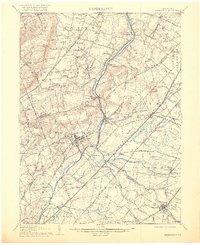
1894 Princeton
Mercer County, NJ
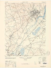
1906 Princeton
Mercer County, NJ
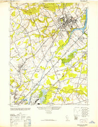
1946 Princeton
Mercer County, NJ
1952 Princeton
Mercer County, NJ
1954 Princeton
Mercer County, NJ
1995 Princeton
Mercer County, NJ
2011 Princeton
Mercer County, NJ
2014 Princeton
Mercer County, NJ
2016 Princeton
Mercer County, NJ
2019 Princeton
Mercer County, NJ
2023 Princeton
Mercer County, NJ
Featured Locations
- Hamilton Township, NJ
- South Brunswick, NJ
- North Brunswick Township, NJ
- Franklin Township, NJ
- Hillsborough Township, NJ