
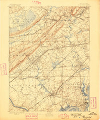
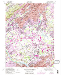
1888 Map of Plainfield
USGS Topo · Published 1888About this map
The Watchung Mountains create a striking diagonal spine across this late nineteenth-century landscape, separating the rugged ridge country of Morris County from the developing industrial plains of Middlesex and Union. This era shows a region defined by its rail corridors, with the Central Railroad of New Jersey and the Lehigh Valley Railroad carving paths through burgeoning towns like Metuchen and Perth Amboy. Large wetland tracts including Ash Swamp and Dismal Swamp remain prominent, illustrating the natural obstacles that influenced early settlement patterns.
Find a feature on this map
112 named features on this map. Tap any name to fly to it.
Don’t see what you’re looking for? This feature index may not catch every label — zoom into the map to look around manually.
Map Details
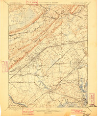
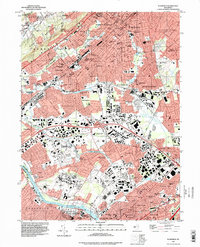
Editions of this 1888 Plainfield Map
This is the sole edition of this map. No revisions or reprints were ever made.
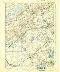
Historical Maps of New York Through Time
13 maps found
1888 Plainfield
Union County, NJ
1893 Plainfield
Union County, NJ
1898 Plainfield
Union County, NJ
1905 Plainfield
Union County, NJ

1921 Plainfield
Union County, NJ
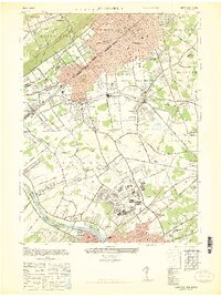
1947 Plainfield
Union County, NJ
1955 Plainfield
Union County, NJ
1995 Plainfield
Union County, NJ
2011 Plainfield
Union County, NJ
2014 Plainfield
Union County, NJ
2016 Plainfield
Union County, NJ
2019 Plainfield
Union County, NJ
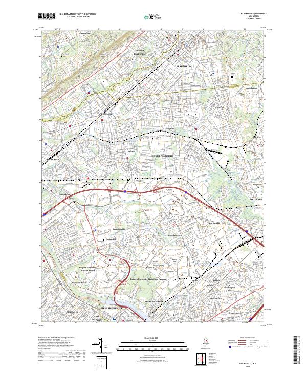
2023 Plainfield
Union County, NJ