
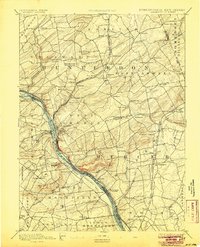
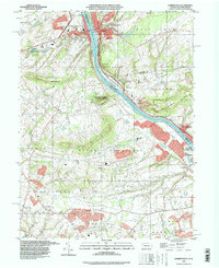
1890 Map of Lambertville
USGS Topo · Published 1890About this map
Lambertville serves as the focal point of this late-19th-century riverfront landscape, where the Delaware River separates New Jersey and Pennsylvania. This map reveals a complex water-and-rail transportation corridor, featuring the Pennsylvania Canal running parallel to the river on the western bank and the Delaware and Raritan Canal Feeder on the eastern side. The industrial and agricultural vitality of the era is evidenced by the density of rail lines, including the Belvidere Division and the Flemington Branch of the Pennsylvania Railroad.
Find a feature on this map
98 named features on this map. Tap any name to fly to it.
Don’t see what you’re looking for? This feature index may not catch every label — zoom into the map to look around manually.
Map Details
Editions of this 1890 Lambertville Map
This is the sole edition of this map. No revisions or reprints were ever made.
Historical Maps of Hillsborough Township Through Time
12 maps found
1890 Lambertville
Hunterdon County, NJ

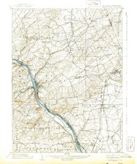
1891 Lambertville
Hunterdon County, NJ
1894 Lambertville
Hunterdon County, NJ
1906 Lambertville
Hunterdon County, NJ
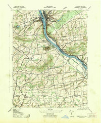
1943 Lambertville
Hunterdon County, NJ
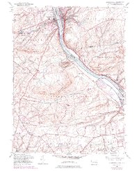
1953 Lambertville
Hunterdon County, NJ
1995 Lambertville
Hunterdon County, NJ
2011 Lambertville
Hunterdon County, NJ
2014 Lambertville
Hunterdon County, NJ
2016 Lambertville
Hunterdon County, NJ
2019 Lambertville
Hunterdon County, NJ
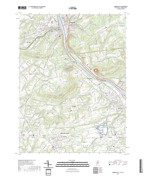
2023 Lambertville
Hunterdon County, NJ
Featured Locations
- Ewing Township, NJ
- Lawrence Township, NJ
- Lower Makefield Township, PA
- Hillsborough Township, NJ
- Raritan Township, NJ