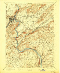
1890 Map of Easton
USGS Topo · Published 1890About this map
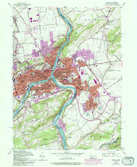
Phillipsburg and Easton dominate the confluence of the Delaware River and Lehigh River in this late nineteenth-century survey, revealing a landscape defined by industrial transport. Three major waterways—the Morris Canal, the Delaware and Raritan Canal, and the Pennsylvania Canal—converge in this corridor, illustrating the era’s reliance on artificial waterways before the full dominance of rail. The map records the complex rail network of the Central Railroad of New Jersey and the Lehigh Valley Railroad, including the notable Musconetcong Tunnel through the ridges. Outside the industrial hubs of South Easton and Glendon, the terrain rises into Pohatcong Mountain and Scotts Mountain, sheltering smaller settlements such as Finesville, Carpentersville, and the iron-working site at Durham Furnace.
Find a feature on this map
95 named features on this map. Tap any name to fly to it.
Don’t see what you’re looking for? This feature index may not catch every label — zoom into the map to look around manually.
Map Details
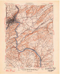
Editions of this 1890 Easton Map
This is the sole edition of this map. No revisions or reprints were ever made.
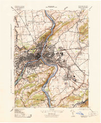
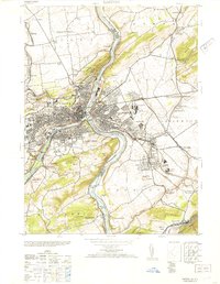
Historical Maps of Easton Through Time
8 maps found