
1888 Map of Hackettstown
USGS Topo · Published 1888About this map
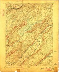
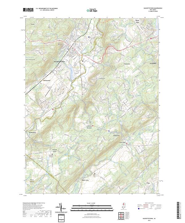
Oxford Furnace and the neighboring Oxford Tunnel anchor the industrial landscape of northwestern New Jersey in the 1880s. This survey illustrates a complex network of transportation and early industry, most notably the Morris Canal as it winds alongside the Musconetcong River near Hackettstown. The map reveals the critical role of water power and resource extraction in the region's development, featuring sites like Swayze's Mills and the Saxton Falls.
Find a feature on this map
85 named features on this map. Tap any name to fly to it.
Don’t see what you’re looking for? This feature index may not catch every label — zoom into the map to look around manually.
Map Details
Editions of this 1888 Hackettstown Map
This is the sole edition of this map. No revisions or reprints were ever made.
Historical Maps of Mount Olive Through Time
11 maps found
1888 Hackettstown
Warren County, NJ

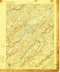
1894 Hackettstown
Warren County, NJ
1898 Hackettstown
Warren County, NJ
1905 Hackettstown
Warren County, NJ
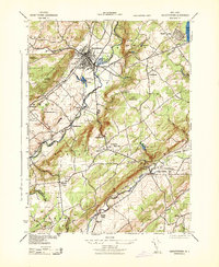
1943 Hackettstown
Warren County, NJ
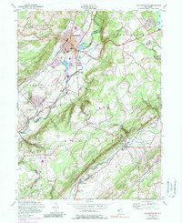
1953 Hackettstown
Warren County, NJ
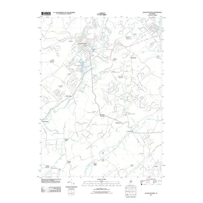
2011 Hackettstown
Warren County, NJ
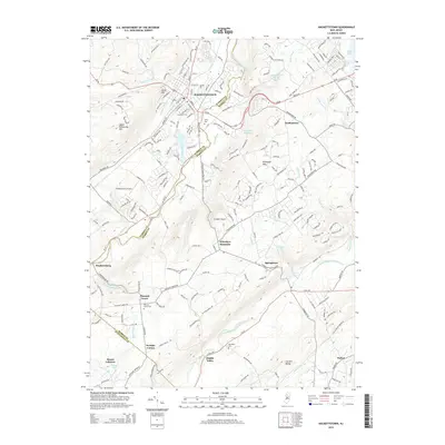
2014 Hackettstown
Warren County, NJ
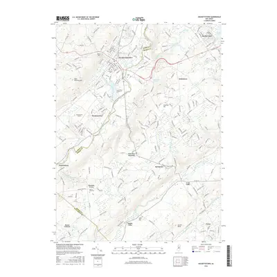
2016 Hackettstown
Warren County, NJ
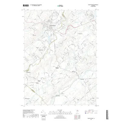
2019 Hackettstown
Warren County, NJ
2023 Hackettstown
Warren County, NJ