
1893 Map of Delaware Water Gap
USGS Topo · Published 1893About this map
The Delaware River carves a dramatic passage through the Kittatinny Mountain range at the Delaware Water Gap, serving as the primary corridor for late nineteenth-century transit and commerce. This survey details a landscape defined by the intersection of natural barriers and industrial ambition, where the Delaware Lackawanna and Western Railroad and the New York Susquehanna and Western Railroad track along opposing riverbanks. To the west, the slate industry dominates the area around Bangor, featuring the Old Bangor Slate Quarry and numerous Slate Quarries concentrated near East Bangor. Local connectivity remains tied to the water, as seen at Myeres Ferry and Hartzells Ferry, providing essential links before modern bridging. Named peaks like Tammany and ridges such as Godfrey Ridge overlook a network of small settlements including Stone Church P. O., Manunka Chunk, and the regional hub of Stroudsburg.
Find a feature on this map
116 named features on this map. Tap any name to fly to it.
Don’t see what you’re looking for? This feature index may not catch every label — zoom into the map to look around manually.
Map Details
Editions of this 1893 Delaware Water Gap Map
12 editions found
1893 edition
15.8 x 20 inches
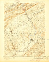
1897 edition
15.8 x 20.2 inches
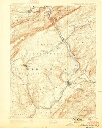
1899 edition
15.8 x 19.8 inches
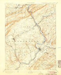
1904 edition
16 x 20 inches
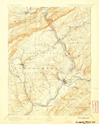
1907 edition
16 x 20 inches
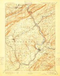
1909 edition
16 x 19.9 inches
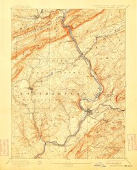
1912 edition
16 x 19.9 inches
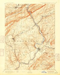
1915 edition
16 x 19.9 inches
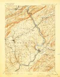
1919 edition
16 x 20.4 inches
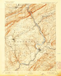
1920 edition
16 x 19.8 inches
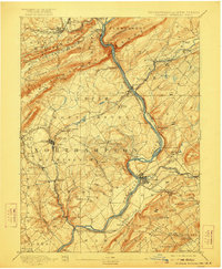
1922 edition
16.5 x 20 inches
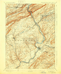
1930 edition
16.5 x 20 inches
Other maps of this area

1888 · Hackettstown
USGS Topo · 1:62,500

1890 · Easton
USGS Topo · 1:62,500

1890 · High Bridge
USGS Topo · 1:62,500

1891 · Easton
USGS Topo · 1:62,500

1891 · Wallpack
USGS Topo · 1:62,500

1891 · Delaware Water Gap
USGS Topo · 1:62,500

1893 · Wallpack
USGS Topo · 1:62,500

1894 · Hackettstown
USGS Topo · 1:62,500

1894 · Allentown
USGS Topo · 1:62,500

1898 · Hackettstown
USGS Topo · 1:62,500