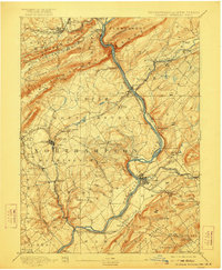
1893 Map of Delaware Watergap
USGS Topo · Published 1922About this map
The Delaware River cuts a deep path through the Kittatinny Mountains and the Pahaquarry Range at the turn of the century, serving as a vital industrial corridor between Pennsylvania and New Jersey. This region is defined by its heavy extraction and transport networks, most notably the extensive Slate Quarries near Bangor, including the Old Bangor Slate Quarry. Further south, the Oxford Furnace stands as a landmark of the local iron industry near Belvidere. The landscape is etched with the paths of major railroads like the Delaware Lackawanna and Western RR and the Belvidere Division Pennsylvania RR, which hauled minerals from the hills. Beyond the industrial hubs, family-named sites and river crossings like Myeres Ferry and Hartzells Ferry illustrate the rural connectivity of Northampton County before modern bridges dominated the valley.
Find a feature on this map
99 named features on this map. Tap any name to fly to it.
Don’t see what you’re looking for? This feature index may not catch every label — zoom into the map to look around manually.
Map Details
Editions of this 1893 Delaware Watergap Map
12 editions found

1893 edition
15.8 x 20 inches
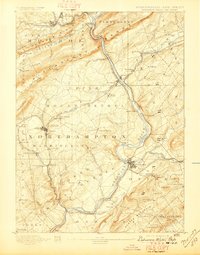
1897 edition
15.8 x 20.2 inches
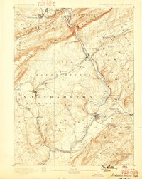
1899 edition
15.8 x 19.8 inches
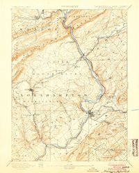
1904 edition
16 x 20 inches
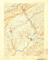
1907 edition
16 x 20 inches
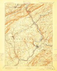
1909 edition
16 x 19.9 inches
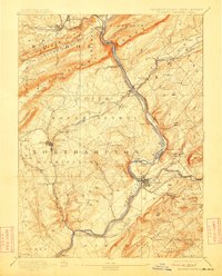
1912 edition
16 x 19.9 inches
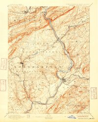
1915 edition
16 x 19.9 inches
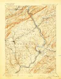
1919 edition
16 x 20.4 inches
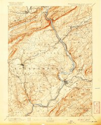
1920 edition
16 x 19.8 inches
1922 edition
16.5 x 20 inches
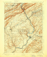
1930 edition
16.5 x 20 inches
Other maps of this area

1888 · Hackettstown
USGS Topo · 1:62,500

1890 · Easton
USGS Topo · 1:62,500

1890 · High Bridge
USGS Topo · 1:62,500

1891 · Easton
USGS Topo · 1:62,500

1891 · Wallpack
USGS Topo · 1:62,500

1891 · Delaware Water Gap
USGS Topo · 1:62,500
1893 · Delaware Water Gap
USGS Topo · 1:62,500

1893 · Wallpack
USGS Topo · 1:62,500

1894 · Hackettstown
USGS Topo · 1:62,500

1894 · Allentown
USGS Topo · 1:62,500