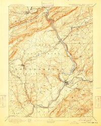
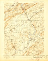
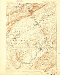
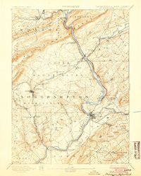
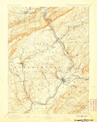
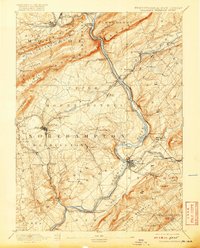
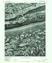
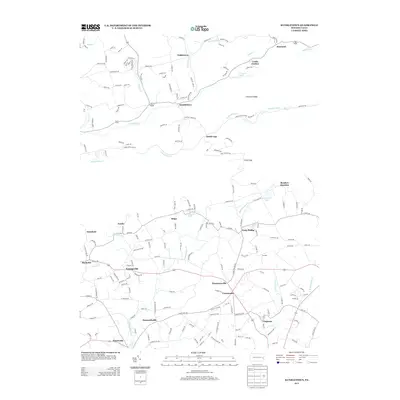
1893 Map of Delaware Watergap
USGS Topo · Published 1909About this map
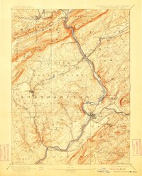
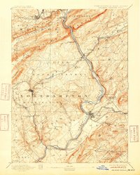
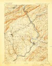
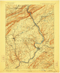
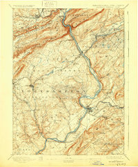
Delaware River cuts a deep path through the Kittatinny Mountain and Pahaquarry Range at the turn of the century, serving as a corridor for an intense concentration of industrial transportation. The map reveals a landscape defined by the extraction and movement of natural resources, most notably at the Slate Quarries and Old Bangor Slate Quarry near Bangor. Further south, the historical Oxford Furnace stands as a landmark of early American iron production.
Find a feature on this map
117 named features on this map. Tap any name to fly to it.
Don’t see what you’re looking for? This feature index may not catch every label — zoom into the map to look around manually.
Map Details
Editions of this 1893 Delaware Watergap Map
12 editions found

1893 edition
15.8 x 20 inches
1897 edition
15.8 x 20.2 inches
1899 edition
15.8 x 19.8 inches
1904 edition
16 x 20 inches
1907 edition
16 x 20 inches
1909 edition
16 x 19.9 inches
1912 edition
16 x 19.9 inches
1915 edition
16 x 19.9 inches
1919 edition
16 x 20.4 inches
1920 edition
16 x 19.8 inches
1922 edition
16.5 x 20 inches
1930 edition
16.5 x 20 inches
Historical Maps of East Stroudsburg Through Time
10 maps found
1893 Delaware Watergap
Northampton County, PA
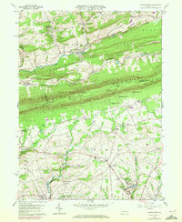
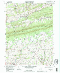
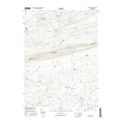
1960 Kunkletown
Northampton County, PA
1976 Kunkletown
Northampton County, PA
1992 Kunkletown
Northampton County, PA
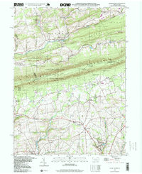
1997 Kunkletown
Northampton County, PA
2010 Kunkletown
Northampton County, PA
2013 Kunkletown
Northampton County, PA
2016 Kunkletown
Northampton County, PA

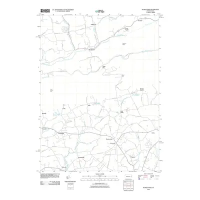
2019 Kunkletown
Northampton County, PA
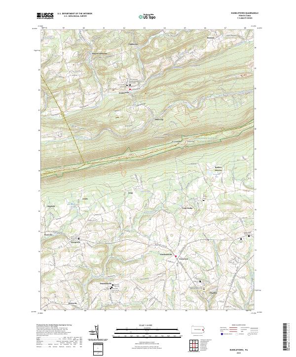
2023 Kunkletown
Northampton County, PA