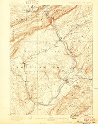
1893 Map of Delaware Water Gap
USGS Topo · Published 1899About this map
Delaware River carved the iconic Delaware Water Gap through the Kittatinny Mountain long before this 1890s survey, but industrial expansion was quickly reshaping the valley floor. The map highlights a landscape defined by heavy extraction and transport, particularly around Bangor and its Old Bangor Slate Quarry. Extensive rail networks including the Bangor and Portland Railroad and the Belvidere Division Railroad weave through the gap, connecting industrial hubs like Oxford Furnace to the river trade. While steel bridges were becoming common, traditional river crossings like Myeres Ferry and Hartzells Ferry still appear, marking the transition from water-based transit to the dominant iron rail. High peaks like Mt Tammany and Jenny Jump Mountain loom over smaller settlements such as Portland and Columbia, providing a clear look at the topography that funneled commerce through these narrow mountain passes.
Find a feature on this map
114 named features on this map. Tap any name to fly to it.
Don’t see what you’re looking for? This feature index may not catch every label — zoom into the map to look around manually.
Map Details
Editions of this 1893 Delaware Water Gap Map
12 editions found

1893 edition
15.8 x 20 inches
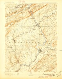
1897 edition
15.8 x 20.2 inches
1899 edition
15.8 x 19.8 inches
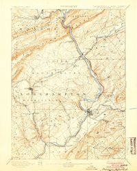
1904 edition
16 x 20 inches
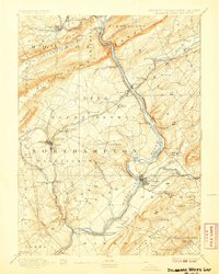
1907 edition
16 x 20 inches
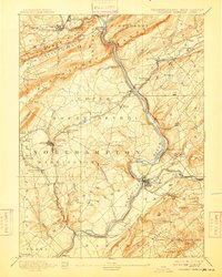
1909 edition
16 x 19.9 inches
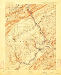
1912 edition
16 x 19.9 inches
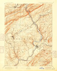
1915 edition
16 x 19.9 inches
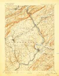
1919 edition
16 x 20.4 inches
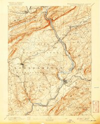
1920 edition
16 x 19.8 inches
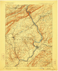
1922 edition
16.5 x 20 inches
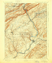
1930 edition
16.5 x 20 inches
Other maps of this area

1888 · Hackettstown
USGS Topo · 1:62,500

1890 · Easton
USGS Topo · 1:62,500

1890 · High Bridge
USGS Topo · 1:62,500

1891 · Easton
USGS Topo · 1:62,500

1891 · Wallpack
USGS Topo · 1:62,500

1891 · Delaware Water Gap
USGS Topo · 1:62,500
1893 · Delaware Water Gap
USGS Topo · 1:62,500

1893 · Wallpack
USGS Topo · 1:62,500

1894 · Hackettstown
USGS Topo · 1:62,500

1894 · Allentown
USGS Topo · 1:62,500