
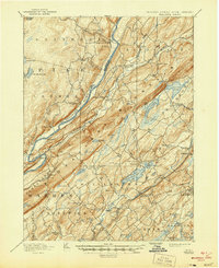
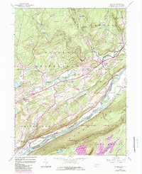
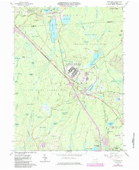
1891 Map of Wallpack
USGS Topo · Published 1891About this map
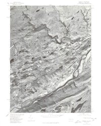
The Delaware River carves a dramatic path through the center of this landscape, flanked by the prominent ridge of Kittatinny Mountain. In the late nineteenth century, river crossings were vital to the local economy, evidenced by several active transit points including Dingmans Ferry, Smiths Ferry, and Deckers Ferry. To the east, the Big Flat Brook and Little Flat Brook parallel the main river valley, supporting early settlements like Peters Valley and Wallpack Center.
Find a feature on this map
81 named features on this map. Tap any name to fly to it.
Don’t see what you’re looking for? This feature index may not catch every label — zoom into the map to look around manually.
Map Details
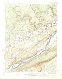
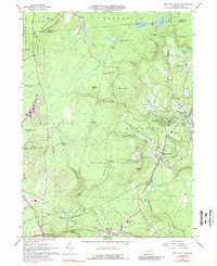
Editions of this 1891 Wallpack Map
This is the sole edition of this map. No revisions or reprints were ever made.
Historical Maps of Newton Through Time
41 maps found
1891 Wallpack
Monroe County, PA
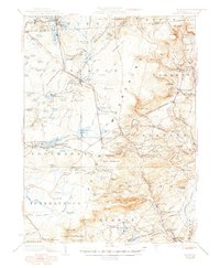
1893 Wallpack
Monroe County, PA

1919 Pocono
Monroe County, PA

1921 Pocono
Monroe County, PA
1923 Pocono
Monroe County, PA

1924 Bushkill
Monroe County, PA
1943 Bushkill
Monroe County, PA

1943 Pocono
Monroe County, PA
1943 Skytop
Monroe County, PA
1944 Bushkill
Monroe County, PA
1947 Bushkill
Monroe County, PA

1947 Skytop
Monroe County, PA

1959 Pocono
Monroe County, PA
1965 Blakeslee
Monroe County, PA
1965 Thornhurst
Monroe County, PA
1965 Tobyhanna
Monroe County, PA
1966 Buck Hill Falls
Monroe County, PA
1976 Blakeslee
Monroe County, PA
1976 Broadheadsville
Monroe County, PA

1976 Buck Hill Falls
Monroe County, PA
1976 Bushkill
Monroe County, PA
1976 Skytop
Monroe County, PA
1976 Thornhurst
Monroe County, PA

1976 Tobyhanna
Monroe County, PA

1992 Blakeslee
Monroe County, PA
1993 Bushkill
Monroe County, PA

1994 Buck Hill Falls
Monroe County, PA

1994 Skytop
Monroe County, PA

1994 Tobyhanna
Monroe County, PA

1997 Buck Hill Falls
Monroe County, PA

1997 Skytop
Monroe County, PA

1997 Thornhurst
Monroe County, PA
1999 Blakeslee
Monroe County, PA
1999 Bushkill
Monroe County, PA
1999 Tobyhanna
Monroe County, PA
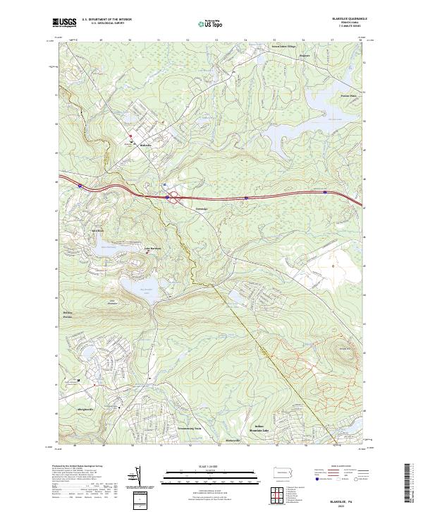
2023 Blakeslee
Monroe County, PA
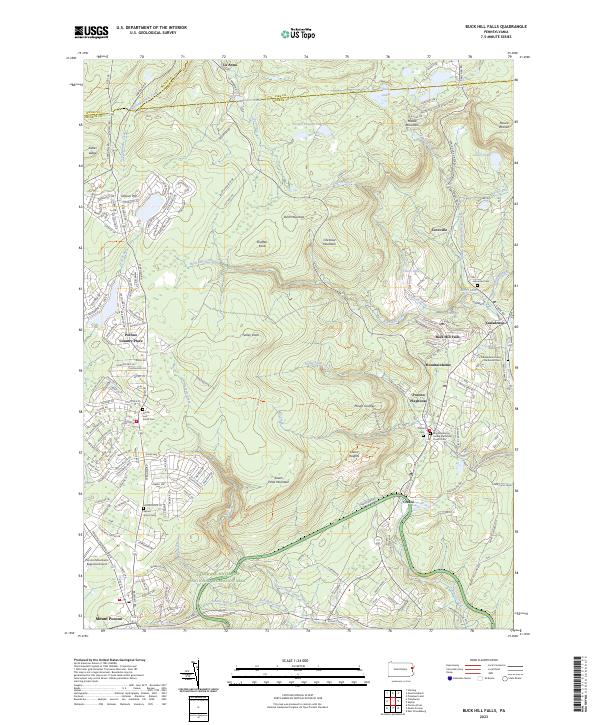
2023 Buck Hill Falls
Monroe County, PA
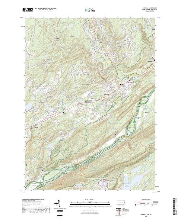
2023 Bushkill
Monroe County, PA
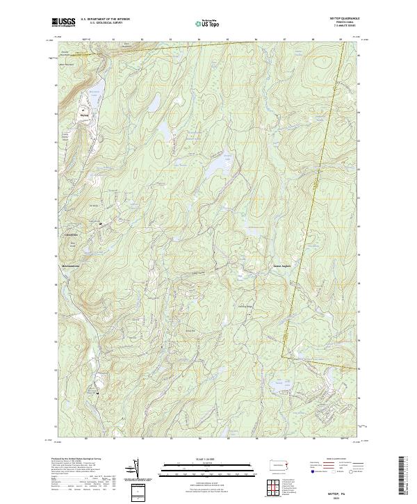
2023 Skytop
Monroe County, PA
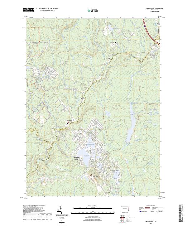
2023 Thornhurst
Monroe County, PA
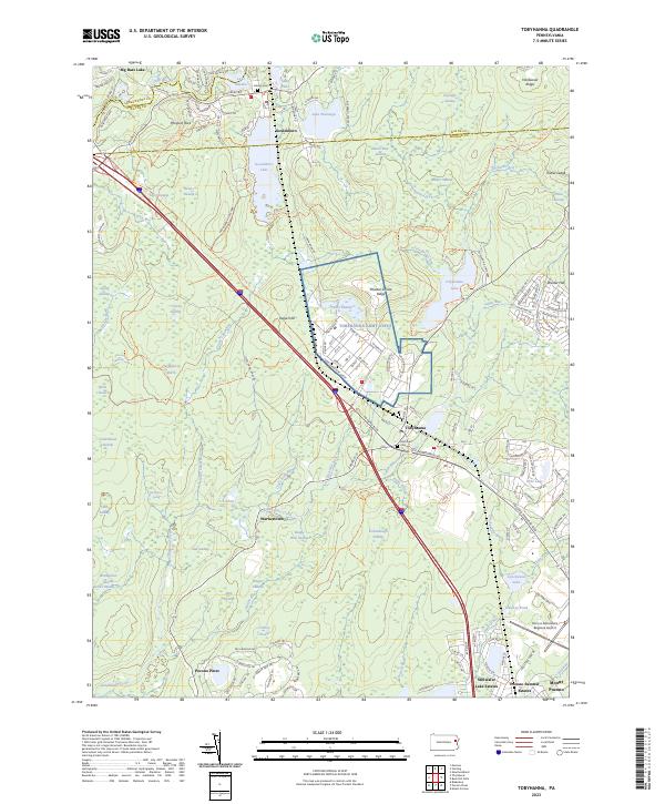
2023 Tobyhanna
Monroe County, PA