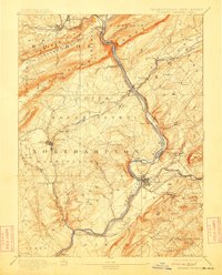
1893 Map of Delaware Watergap
USGS Topo · Published 1912About this map
Kittatinny Mountain and the Pahaquarry Range dominate this late 19th-century landscape, where the Delaware River cuts its famous gap through the ridge. The geography reveals a complex industrial and transit network at the intersection of Pennsylvania and New Jersey. Intensive extraction is evident at the Slate Quarries near Bangor, including the Old Bangor Slate Quarry, while the Oxford Furnace sits to the southeast. Transport relies heavily on river-crossing points like Hartzells Ferry and Myeres Ferry, supplemented by a dense web of railroads including the Belvidere Delaware Railroad and the Bangor and Portland Railroad. The map captures regional hubs such as Belvidere and Stroudsburg during a period of industrial maturity, alongside smaller post offices like Hazen P.O. and the rugged heights of Jenny Jump Mtn.
Find a feature on this map
109 named features on this map. Tap any name to fly to it.
Don’t see what you’re looking for? This feature index may not catch every label — zoom into the map to look around manually.
Map Details
Editions of this 1893 Delaware Watergap Map
12 editions found

1893 edition
15.8 x 20 inches
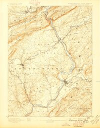
1897 edition
15.8 x 20.2 inches
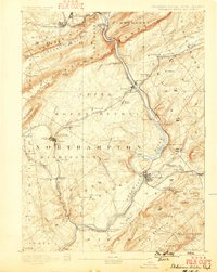
1899 edition
15.8 x 19.8 inches
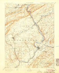
1904 edition
16 x 20 inches
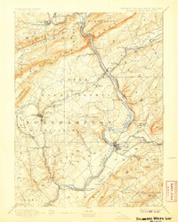
1907 edition
16 x 20 inches
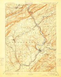
1909 edition
16 x 19.9 inches
1912 edition
16 x 19.9 inches
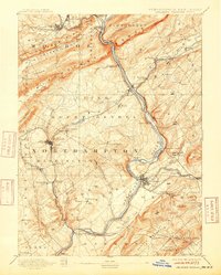
1915 edition
16 x 19.9 inches
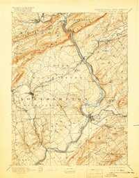
1919 edition
16 x 20.4 inches
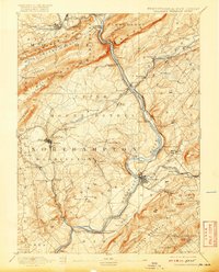
1920 edition
16 x 19.8 inches
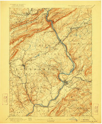
1922 edition
16.5 x 20 inches
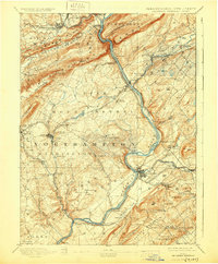
1930 edition
16.5 x 20 inches
Other maps of this area

1888 · Hackettstown
USGS Topo · 1:62,500

1890 · Easton
USGS Topo · 1:62,500

1890 · High Bridge
USGS Topo · 1:62,500

1891 · Easton
USGS Topo · 1:62,500

1891 · Wallpack
USGS Topo · 1:62,500

1891 · Delaware Water Gap
USGS Topo · 1:62,500
1893 · Delaware Water Gap
USGS Topo · 1:62,500

1893 · Wallpack
USGS Topo · 1:62,500

1894 · Hackettstown
USGS Topo · 1:62,500

1894 · Allentown
USGS Topo · 1:62,500