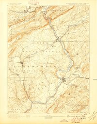
1893 Map of Delaware Water Gap
USGS Topo · Published 1897About this map
Kittatinny Mountain dominates this landscape, punctuated by the iconic breach of the Delaware Water Gap where the Delaware River cuts through the Pahaquarry Range. In the late 19th century, this region served as a vital industrial corridor, defined by the extensive Slate Quarries near Bangor and the Old Bangor Slate Quarry. The economy of the valley was driven by these mineral resources and a dense network of transportation, including the Bangor and Portland R. R. and the Belvidere Division Railroad.
Find a feature on this map
109 named features on this map. Tap any name to fly to it.
Don’t see what you’re looking for? This feature index may not catch every label — zoom into the map to look around manually.
Map Details
Editions of this 1893 Delaware Water Gap Map
12 editions found

1893 edition
15.8 x 20 inches
1897 edition
15.8 x 20.2 inches
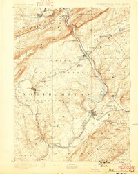
1899 edition
15.8 x 19.8 inches
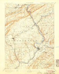
1904 edition
16 x 20 inches
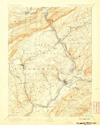
1907 edition
16 x 20 inches
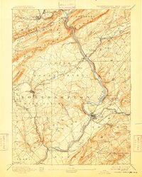
1909 edition
16 x 19.9 inches
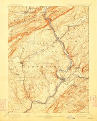
1912 edition
16 x 19.9 inches
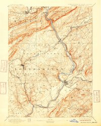
1915 edition
16 x 19.9 inches
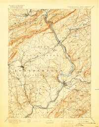
1919 edition
16 x 20.4 inches
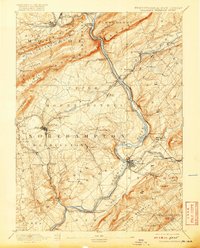
1920 edition
16 x 19.8 inches
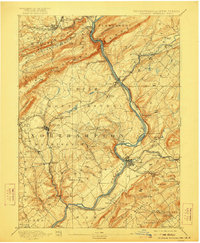
1922 edition
16.5 x 20 inches
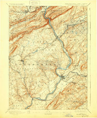
1930 edition
16.5 x 20 inches
Other maps of this area

1888 · Hackettstown
USGS Topo · 1:62,500

1890 · Easton
USGS Topo · 1:62,500

1890 · High Bridge
USGS Topo · 1:62,500

1891 · Easton
USGS Topo · 1:62,500

1891 · Wallpack
USGS Topo · 1:62,500

1891 · Delaware Water Gap
USGS Topo · 1:62,500
1893 · Delaware Water Gap
USGS Topo · 1:62,500

1893 · Wallpack
USGS Topo · 1:62,500

1894 · Hackettstown
USGS Topo · 1:62,500

1894 · Allentown
USGS Topo · 1:62,500